MestalaMestala
HomePlacesMapTripBlogAboutFAQ
EN|БГ

Discover Bulgaria with Mestala.

AboutFAQLicensePrivacy
MountainsSofia Province

Runtaviya vrah

HomePlacesMountainsRuntaviya vrah
Elevation: 1,437 mCoordinates: 43.02456, 23.30137View on OpenStreetMap

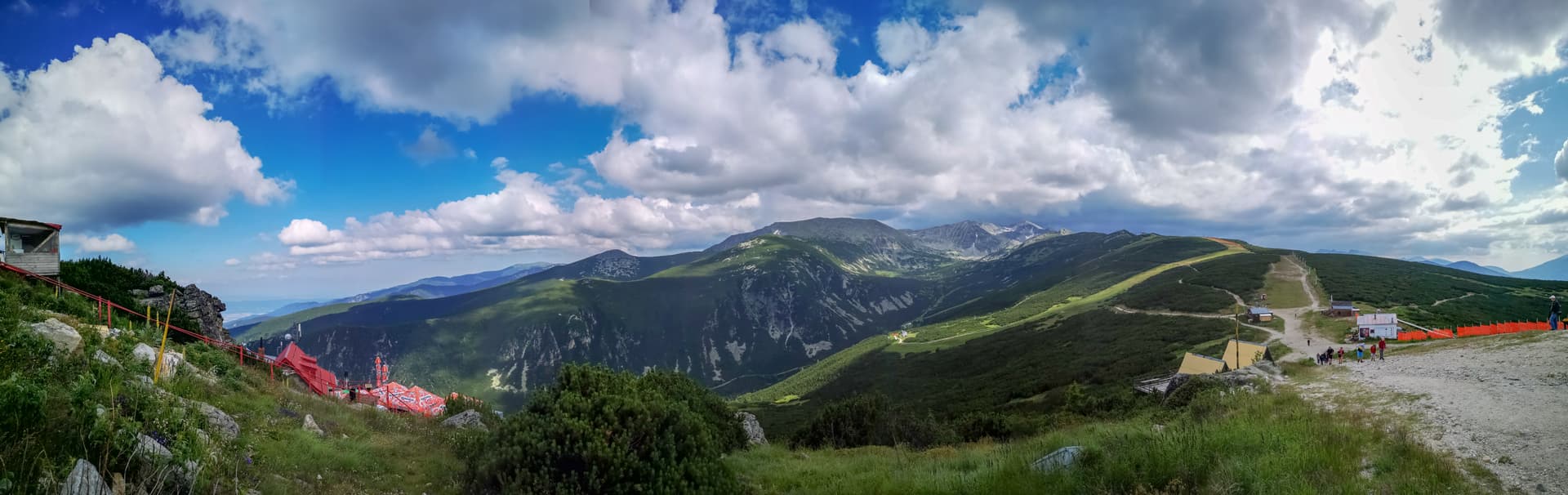
Runtavia Vruh, poetically translated as "The Shaggy Peak" due to its lush vegetation, is one of the most charming and accessible spots in the immediate vicinity of Sofia, offering unparalleled panoramic views. Situated in the southwestern part of the Sofia Valley, this peak, standing at an elevation of approximately 1137 meters, is the ideal destination for a quick and refreshing escape from the urban hustle and bustle, without the need for extensive travel. The route to Runtavia Vruh is relatively easy and exceptionally pleasant, making it suitable for visitors of all ages – from families with children to novice hikers. The ascent typically takes about an hour to an hour and a half from the foothills, with trails winding through picturesque deciduous forests. These forests provide welcome coolness during the hot summer months and transform into a kaleidoscope of colors in autumn, making each visit unique. From the peak itself, the view is truly breathtaking. The vast expanses of the Sofia Plain unfold before your eyes, along with the majestic silhouette of Vitosha Mountain, with Kupena and Cherni Vruh clearly visible. To the north, the impressive peaks of the Stara Planina (Balkan Mountains) rise, while to the south, you can enjoy the gentler beauty of Plana Mountain. Runtavia Vruh is a wonderful place for a picnic amidst nature, for capturing impressive landscape photographs, or simply for immersing oneself in the tranquility and fresh mountain air. Whether you're seeking a spot for an energetic morning hike, a peaceful afternoon stroll, or an unforgettable sunset painting the sky over Sofia, Runtavia Vruh offers it all. Its easy accessibility, beautiful nature, and magnificent panoramas make it a must-visit point for every nature lover visiting or residing in the Sofia region.

Nearby Places

Milenkov peak
Mountains

Milenkov peak

Sofia Province

1.0 km away

Eco trail Vazova
Trails

Eco trail Vazova

Sofia Province

4.4 km away

Kolkina dupka
Caves

Kolkina dupka

Sofia Province

4.6 km away

Grohoten
Mountains

Grohoten

Sofia Province

6.1 km away

More to explore

Musala
Mountains

Musala

Sofia Province

Ibar
Mountains

Ibar

Sofia Province

Ravni chal
Mountains

Ravni chal

Sofia Province

Glavinitsa
Mountains

Glavinitsa

Sofia Province

Frequently asked questions

Where is Runtaviya vrah located?

Runtaviya vrah is located in Sofia Province, Bulgaria.

How do I get to Runtaviya vrah?

Runtaviya vrah is most easily reached by car. Use the coordinates above to navigate, or open the location in OpenStreetMap or your preferred maps app for turn-by-turn directions. Public transport options vary by region — for remote destinations a rental car gives the most flexibility.

What is the best time to visit Runtaviya vrah?

Late spring through early autumn (May–September) is best for Runtaviya vrah, when trails are clear of snow and weather is most stable. Higher peaks may hold snow into June and see fresh snow as early as October. Winter visits are for experienced mountaineers with proper gear.

How high is Runtaviya vrah?

Runtaviya vrah reaches an elevation of 1,437 metres above sea level.

What should I bring when visiting Runtaviya vrah?

Hiking boots, layered clothing, water (1.5–2 L per person), sun protection, and a windproof jacket — mountain weather changes quickly. For longer routes also bring a map (paper or offline), a head torch, and emergency rations. Tell someone your planned route and expected return time.