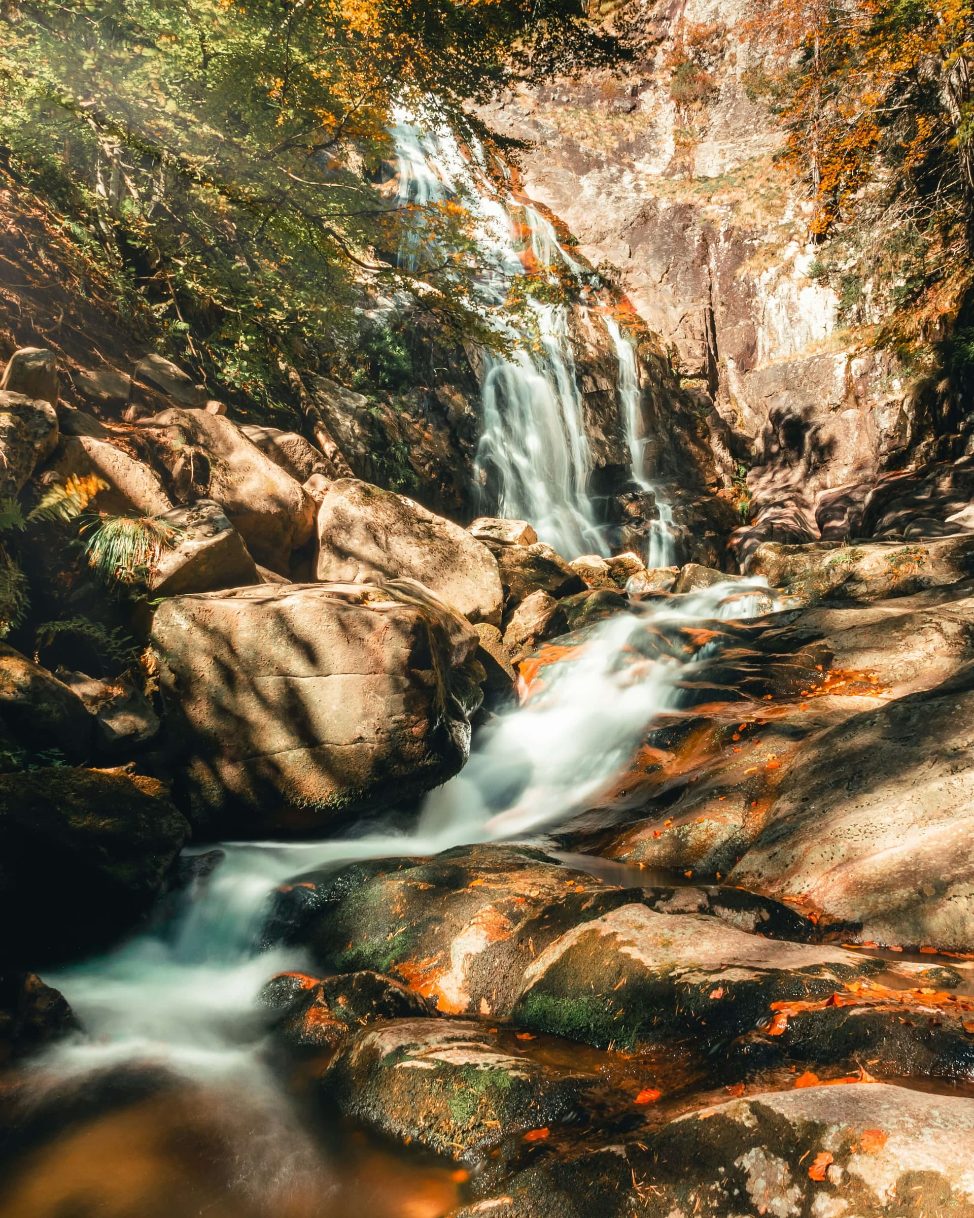
The route climbs the south-western slope of Vitosha from the village of Rudartsi to Ostritsa hut. It is waymarked in red and is about 8 km long.
It starts in the centre of Rudartsi, at the mineral-water fountain by the Razklona rest area, and sets off on a steep path through the Yasena conifer forest. It crosses Tserova Polyana (1,160 m), passes the Vladayska river canal and runs above the abandoned quarries near Marchaevo, then through the Kriv Kamak, Peychinov Valog and Vadata areas. The last 15 minutes or so follow the walkway between Selimitsa and Ostritsa huts. The hike takes about 3 hours.
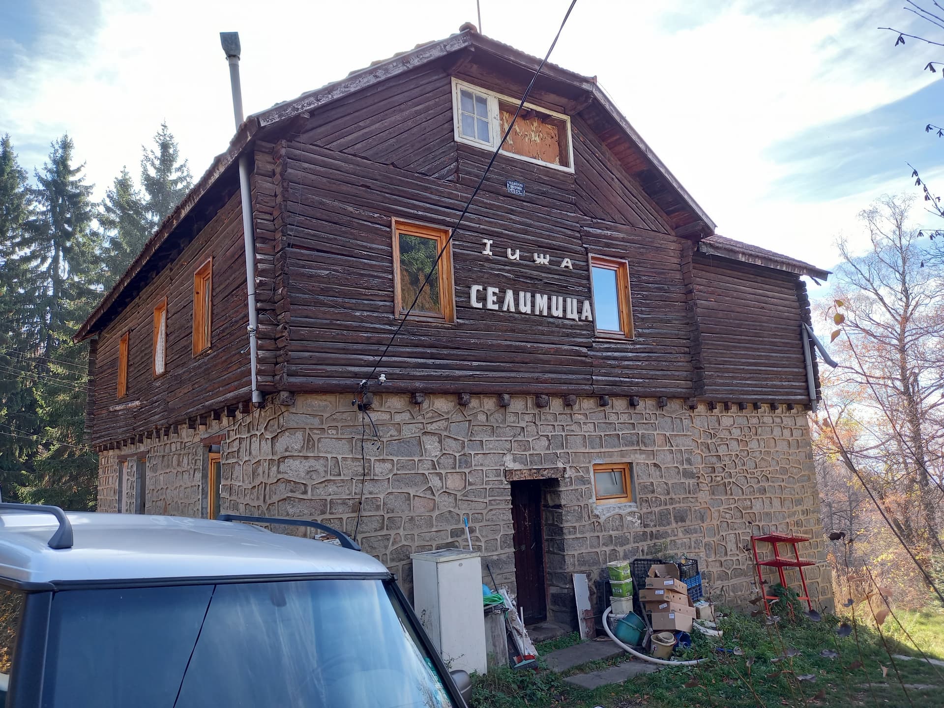
Along the way there are views of Ostritsa peak (1,696 m), Venetsa and Vladayski Cherni Vrah. The hut was built on the site of the burnt-down Broks hut and has been privately owned since 2003. From it, Ostritsa peak is about 10 minutes away, Rudnichar hut about 5 minutes and Edelweiss hut about 30 minutes.
The climb is over 750 m and the start is steep. Wear hiking shoes and carry water.
Rudartsi is in Pernik municipality, with regular buses to Pernik and Sofia. The village has two open-air mineral-water pools.

Sofia City region
4.0 km away
Sofia City region
4.9 km away
Sofia City region
5.5 km away
Rudartsi – Ostritsa Hut is located in Sofia City, Bulgaria.
Rudartsi – Ostritsa Hut is most easily reached by car. Use the coordinates above to navigate, or open the location in OpenStreetMap or your preferred maps app for turn-by-turn directions. Public transport options vary by region — for remote destinations a rental car gives the most flexibility.
Rudartsi – Ostritsa Hut is best walked from May through October, when the trail is clear of snow and weather is generally stable. Summer middays can be hot at lower altitudes — start early. Winter walking requires proper gear and route knowledge.
Suitability depends on the specific route. Bulgarian trails range from paved family-friendly paths to multi-day high-mountain crossings. Check the length, elevation gain, and surface before setting off. Sturdy footwear, water, and a basic map (offline or paper) are essential even on short walks.