Sokolata Reserve lies in the southern part of the Malashevska Mountain, in the lands of the village of Igralishte, Strumyani municipality. It was declared in 1985 and covers 219.59 ha.
The reserve protects an old, tall-stemmed forest of Hungarian oak (Quercus frainetto), the only such forest in the Malashevska Mountain left untouched by logging. Many of the trees are more than 250 years old, and the forest is almost pure Hungarian oak, with scattered groups of beech and sessile oak. The reserve lies between 600 and 900 m above sea level, on the slope of the Lebnitsa river valley, and is one of the few Bulgarian reserves at such a low altitude. The climate is transitional Mediterranean, and snow does not stay long. Wild boar, roe deer, fox and wolf live here, and more than 30 bird species nest in the forest. The area is part of the Ograzhden – Maleshevo Natura 2000 site.
The reserve has the strictest protection regime: everything is banned except guarding, scientific visits, walking on marked paths, and collecting seeds and specimens for science. Visitor paths were set by a Ministry of Environment order in 2004, and their map is published on the website of the Blagoevgrad regional environment inspectorate (RIOSV). On the paths you may not leave the route, pick plants, light fires or camp. The inspectorate asks visitors to arrange their visit with it in advance.
The village of Igralishte sits at the foot of the Malashevska Mountain, west of the Struma. The nearest towns are Sandanski (about 15 km in a straight line) and Petrich (about 17 km).
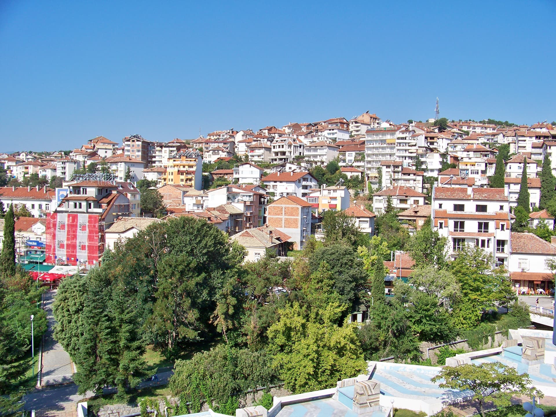
Blagoevgrad region
15.1 km away
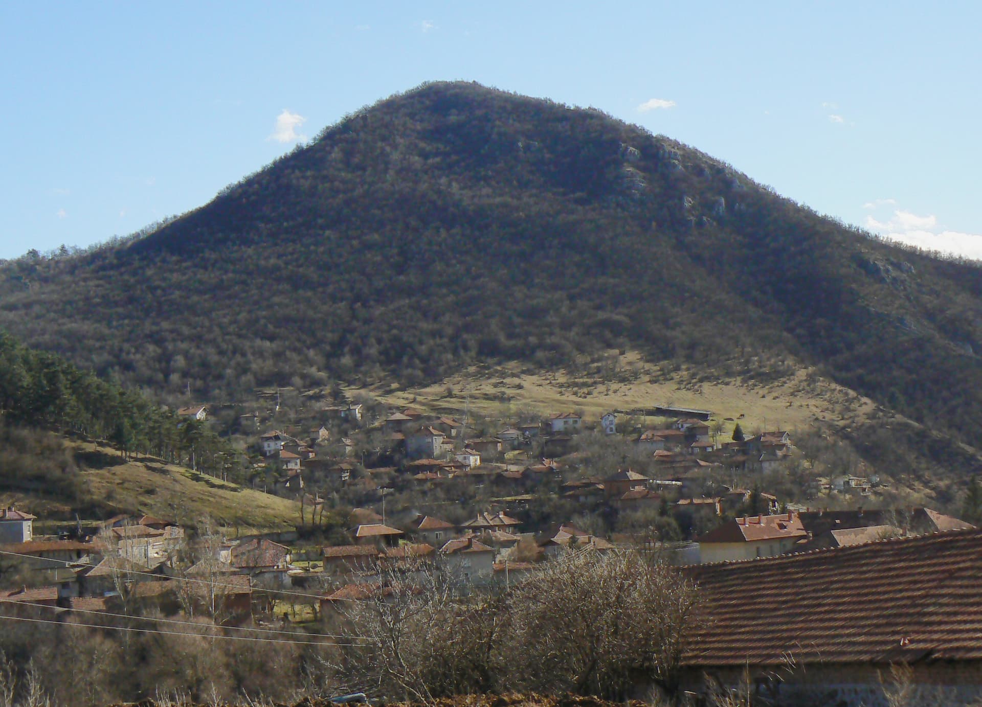
Blagoevgrad region
17.5 km away

Blagoevgrad region
17.7 km away
Sokolata Reserve is located in Blagoevgrad, Bulgaria.
Sokolata Reserve is most easily reached by car. Use the coordinates above to navigate, or open the location in OpenStreetMap or your preferred maps app for turn-by-turn directions. Public transport options vary by region — for remote destinations a rental car gives the most flexibility.
Sokolata Reserve is best walked from May through October, when the trail is clear of snow and weather is generally stable. Summer middays can be hot at lower altitudes — start early. Winter walking requires proper gear and route knowledge.
Suitability depends on the specific route. Bulgarian trails range from paved family-friendly paths to multi-day high-mountain crossings. Check the length, elevation gain, and surface before setting off. Sturdy footwear, water, and a basic map (offline or paper) are essential even on short walks.