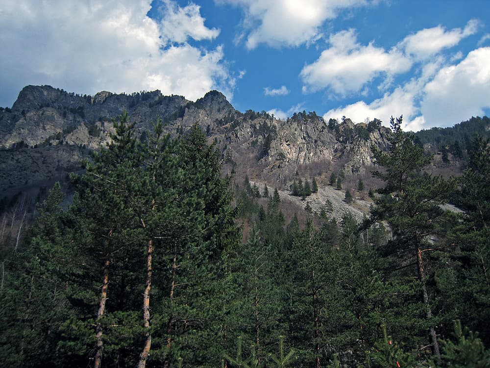
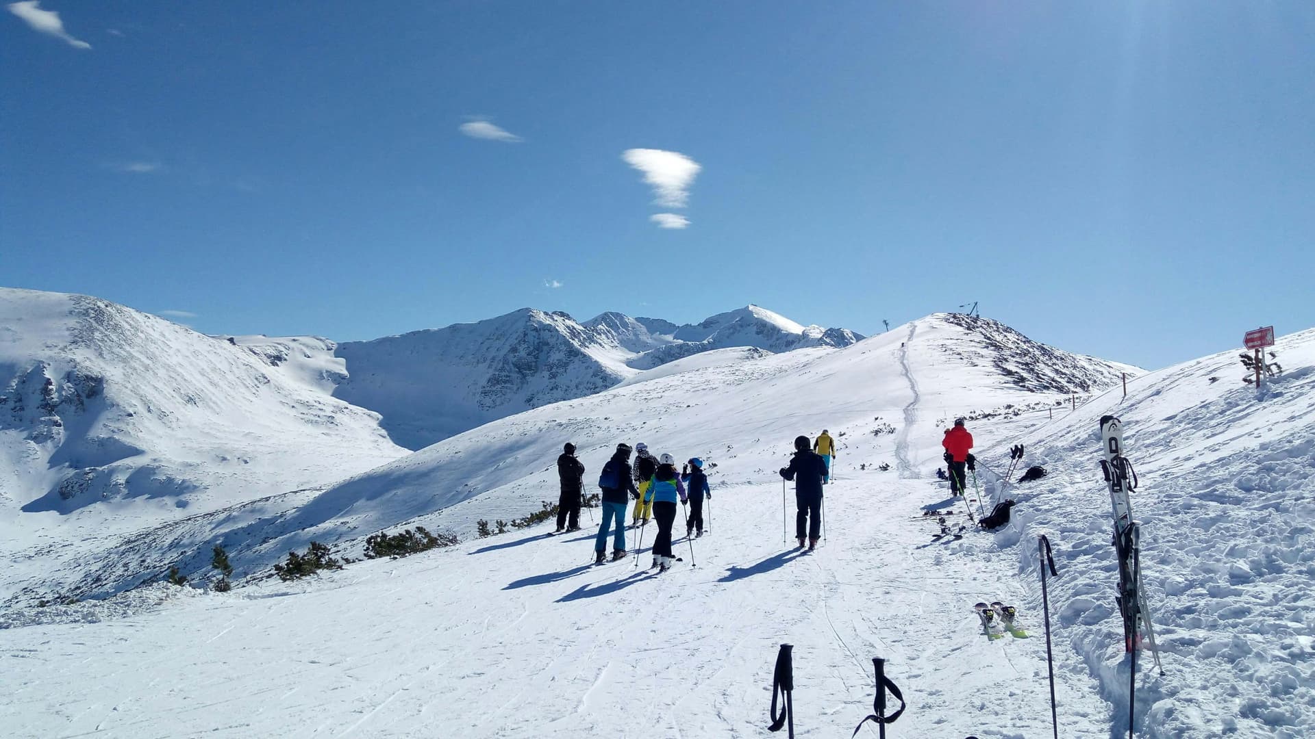
The Musala Pathway leads from Borovets up the Bistritsa valley to Musala hut and Musala peak (2,925 m) in Rila. It is marked in red, it is about 12.4 km to the summit, and the hut is about 4 hours from the start.
The trailhead is the Borovets resort, above Samokov. The path starts by the entrance to the Tsarska Bistritsa residence.
In Borovets; paid and free options are covered in our guide below.
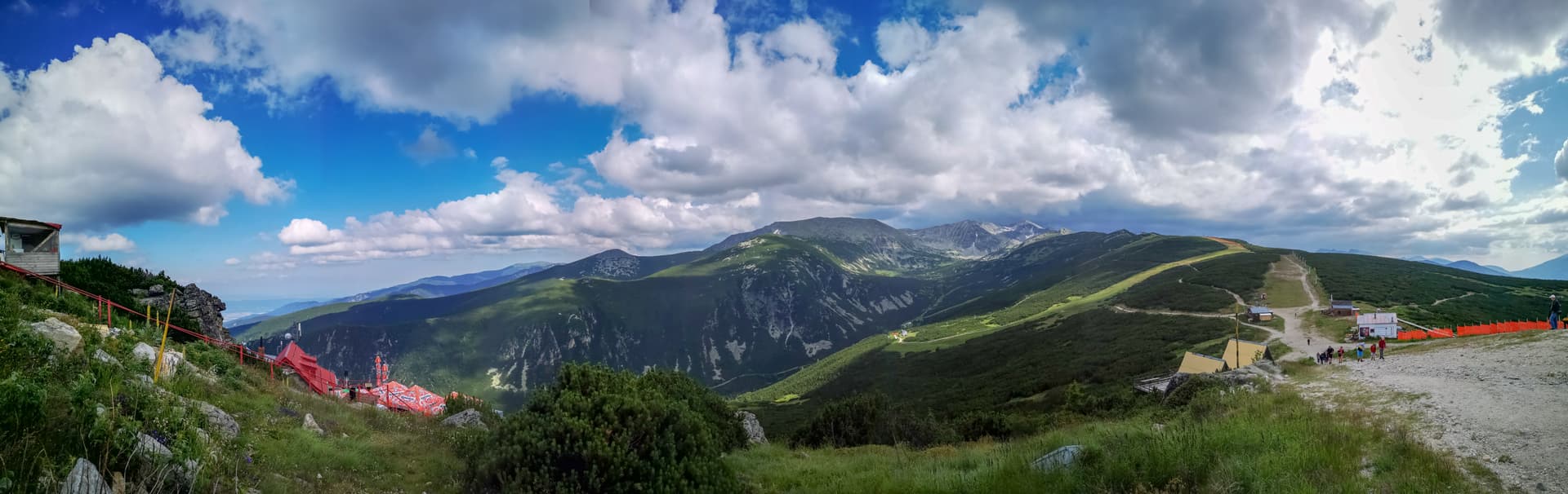
From Borovets (about 1,350 m) the path follows the Bistritsa river past the lower station of the Markudzhik lift, then through dwarf pine. It crosses water in a few places. After about 9 km it reaches Musala hut (2,389 m) by the Musala lakes. From there rocky ground leads past Ledeno lake (about 1:15 h) and on to the summit in about another half hour. The total climb is about 1,575 m.
Up to the hut the climb is gradual and easy. Above it the ground is rocky and steep. The summit and back in one day needs good fitness.
July to September. Outside those months the upper part is under snow, and the weather turns fast even in summer.
The old Musala hut has 65 beds and a restaurant. The new 130-bed building has not yet opened.
The same way, or from Musala hut to Yastrebets hut (about 30 minutes) and down on the gondola when it runs.
Sofia region
1.3 km away

Sofia region
1.7 km away
Sofia region
2.7 km away
Sofia region
3.9 km away
Musala Pathway is located in Sofia Province, Bulgaria.
Musala Pathway is most easily reached by car. Use the coordinates above to navigate, or open the location in OpenStreetMap or your preferred maps app for turn-by-turn directions. Public transport options vary by region — for remote destinations a rental car gives the most flexibility.
Musala Pathway is best walked from May through October, when the trail is clear of snow and weather is generally stable. Summer middays can be hot at lower altitudes — start early. Winter walking requires proper gear and route knowledge.
Suitability depends on the specific route. Bulgarian trails range from paved family-friendly paths to multi-day high-mountain crossings. Check the length, elevation gain, and surface before setting off. Sturdy footwear, water, and a basic map (offline or paper) are essential even on short walks.