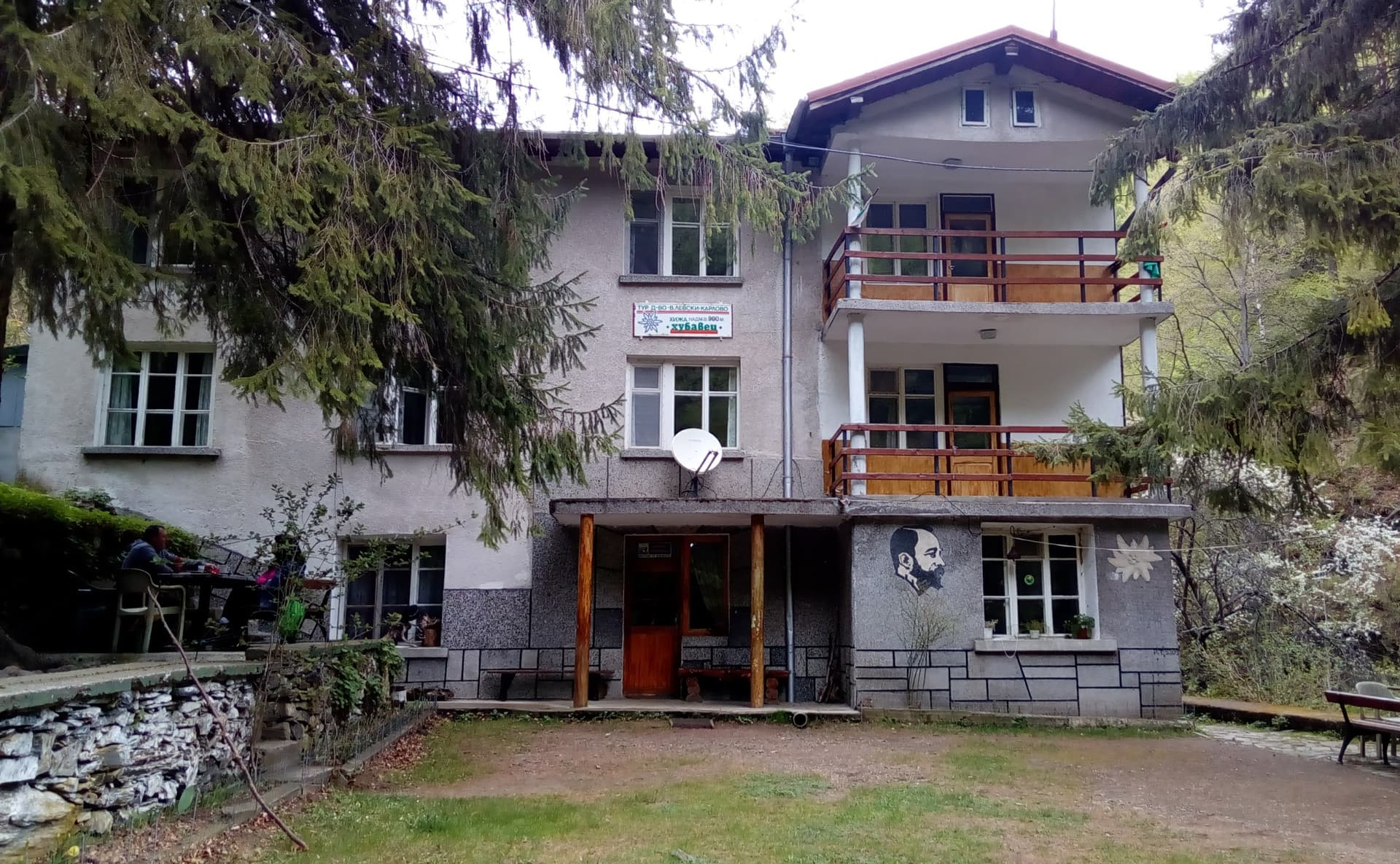
The route climbs from Karnarsko Hanche, at the southern foot of the central Stara Planina above the village of Karnare, to Maka hut (Peshova Maka) at about 1,470 m. It is waymarked in blue and is about 5.7 km long.
From the inn the path reaches the Bekladzhe fountain in about 20 minutes. It continues through the Pochivaloto and Dolna Polyana areas and past Yosev Govedarnik peak and comes out at the hut after about 2 hours 10 minutes. From there red waymarks lead on to Zhalni peak — about 4 hours from the inn.
The path climbs from forest across meadows to an open ridge, with views over the Dzhofara river valley and the surrounding peaks. The hut was built between 1965 and 1980 by local people. Today it looks abandoned and is not in use, so do not count on a bed or food there. The road to the Troyan Pass and the line of the Roman Via Traiana both pass near the inn.
A steady climb of about two hours. There is water at the Bekladzhe fountain near the start. Wear hiking shoes.
Karnarsko Hanche is on the road to the Troyan Pass (II-35) above Karnare. Karnare is in Karlovo municipality, with buses from Plovdiv and Karlovo.

Plovdiv region
4.6 km away
Lovech region
4.7 km away
Lovech region
4.9 km away
Lovech region
5.7 km away
Karnarsko Hanche – Maka Hut is located in Plovdiv, Bulgaria.
Karnarsko Hanche – Maka Hut is most easily reached by car. Use the coordinates above to navigate, or open the location in OpenStreetMap or your preferred maps app for turn-by-turn directions. Public transport options vary by region — for remote destinations a rental car gives the most flexibility.
Karnarsko Hanche – Maka Hut is best walked from May through October, when the trail is clear of snow and weather is generally stable. Summer middays can be hot at lower altitudes — start early. Winter walking requires proper gear and route knowledge.
Suitability depends on the specific route. Bulgarian trails range from paved family-friendly paths to multi-day high-mountain crossings. Check the length, elevation gain, and surface before setting off. Sturdy footwear, water, and a basic map (offline or paper) are essential even on short walks.