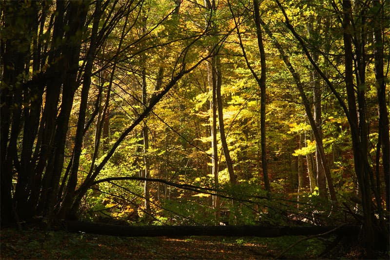
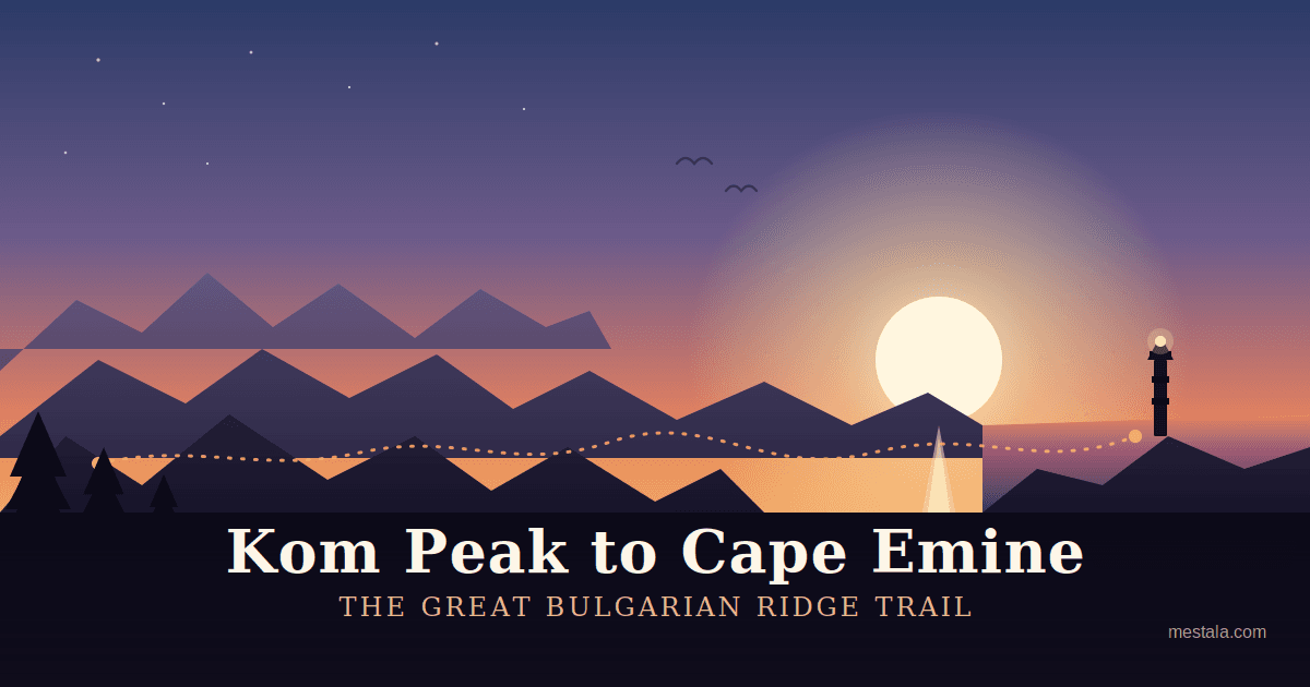
The "Kom – Emine" trail is the longest, most famous, and iconic marked pedestrian tourist route in Bulgaria, historically referred to as the "Trail of Friendship." It represents the final and most scenic section of the European Long-Distance Walking Route E3, which symbolically connects the Atlantic Ocean with the Black Sea. Traversing the main ridge of the Balkan Mountains (Stara Planina) is the ultimate test of endurance and a lifelong dream for Bulgarian mountaineers, guiding adventurers through rugged alpine terrains, ancient forests, and legendary historical sites. Key Parameters and Logistics - Terminuses: The trail starts in the west at Kom Peak (2016 meters), located in close proximity to the Serbian border, and terminates in the east at Cape Emine on the Black Sea coast—the easternmost point of the Balkan Mountain range. - Distance and Elevation: The official distance ranges between 560 and 580 kilometers (extending to 650 – 700 kilometers depending on specific high-ridge alternative detours). The trek demands extreme physical conditioning, featuring approximately 20,500 meters of positive elevation gain and 21,500 meters of descent. - Geographical Center: Hikers summit or bypass over 100 mountain peaks. The exact midpoint of the trail is located near the Uzana Hut, which uniquely coincides with the official Geographical Center of Bulgaria. - Duration: A standard summer thru-hike takes between 18 and 25 days for regular hikers, while demanding winter expeditions average around 28 days. Historical Milestones and Early Expeditions - The Visionary: The idea of a continuous trek along the spine of the Balkan Mountains was first proposed by the famous Bulgarian writer and travel pioneer Aleko Konstantinov. - The 1933 Pioneers: In 1933, the concept was turned into reality by the prominent geographer Pavel Deliradev and his companion Todor Tsvetkov. Deliradev authored the very first official guidebook for the trail, titled "From Kom to Emine." - Route Definition: The trek was repeated in 1953 by the Republican Tourism Commission, and the current official path was finalized following successful group expeditions in 1955 and 1959. The first winter crossing was achieved in 1961, and in July 1968, a team from Ruse University completed the first reverse traverse from the sea to the western peaks. Speed Records and Athletic Achievements In recent decades, the trail has evolved into a premier arena for ultra-marathon mountain running and extreme cross-country cycling. - Pedestrian (Summer): For nearly 30 years, the record was held by the legendary Lyubomir Palakarchev (5 days, 14 hours in 1987). In August 2015, Kiril Nikolov – Dizela clocked a time of 4 days, 13 hours, and 5 minutes. The standing fastest known time belongs to Bozhidar Antonov, who in mid-August 2018 completed the entire thru-run in an astonishing 4 days, 8 hours, and 27 minutes. - Pedestrian (Winter): The fastest winter crossing under extreme sub-zero conditions was achieved by Bozhidar Antonov in February 2019, finishing in 9 days, 4 hours, and 51 minutes. - Cycling (KE70): Following a long rivalry between Raiko Stefanov, Borislav Yordanov, and Ilko Iliev, the cycling record dropped below three days. On August 14, 2024, Petar Matov achieved a historic milestone in the "KE70" project, completing the trail in a record-breaking 67 hours and 18 minutes (2 days, 19 hours, and 18 minutes). Tourist Infrastructure and Trail Markings - Huts and Shelters: Mountain huts along the ridge are reasonably spaced, but due to their changing operational status, hikers must check availability and food services in advance. The route is reinforced by strategic shelters such as the premium "Orlovo Gnezdo" (Eagle's Nest) shelter, Ambariitsa peak shelter, Botev shelter, Karaivanovo Horishte, and Hazim the Forester shelter. In case of emergency severe weather, Lakatnik and Krastets railway stations also provide overnight refuge. - Markings: The standard summer horizontal marking consists of a bright red line bordered by two white stripes. Winter navigation is guaranteed by heavy-duty steel stakes cemented into the ground, painted in alternating highly visible yellow and black stripes.
Gabrovo
3.8 km away
Gabrovo
3.8 km away

Gabrovo
4.5 km away
European long distance path E3 - part Bulgaria is located in Gabrovo, Bulgaria.
European long distance path E3 - part Bulgaria is most easily reached by car. Use the coordinates above to navigate, or open the location in OpenStreetMap or your preferred maps app for turn-by-turn directions. Public transport options vary by region — for remote destinations a rental car gives the most flexibility.
European long distance path E3 - part Bulgaria is best walked from May through October, when the trail is clear of snow and weather is generally stable. Summer middays can be hot at lower altitudes — start early. Winter walking requires proper gear and route knowledge.
Suitability depends on the specific route. Bulgarian trails range from paved family-friendly paths to multi-day high-mountain crossings. Check the length, elevation gain, and surface before setting off. Sturdy footwear, water, and a basic map (offline or paper) are essential even on short walks.