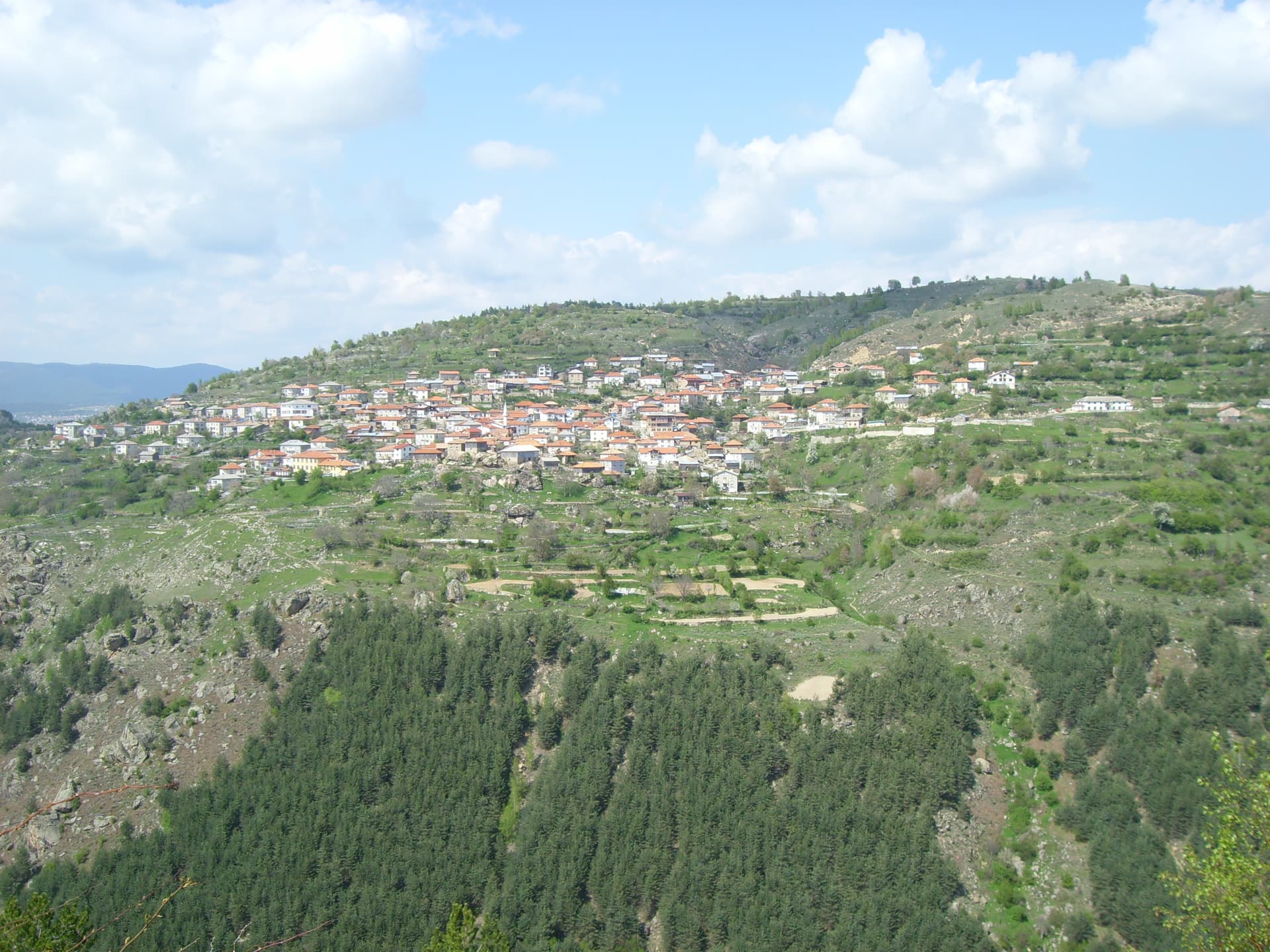
Cherni Vrah (Black Peak) is the highest point of Vitosha Mountain and one of the most cherished and recognizable alpine symbols in Bulgaria. Soaring to an altitude of 2,290 meters above sea level, it places Vitosha as the fourth highest mountain range in the country — following Rila (Musala Peak — 2,925 m), Pirin (Vihren Peak — 2,914 m), and the Balkan Mountains (Botev Peak — 2,376 m). Administratively, the summit is located in the scenic Lepaya area within the territory of the mountain village of Chuypetlovo, Pernik Municipality. The expansive summit plateau rewards hikers with a stunning panoramic vista that, on clear days, offers inspiring views over the Sofia Valley, the long ridge of the Balkan Mountains, and the alpine peaks of Rila.
Cherni Vrah holds a sacred and foundational place in the history of the Bulgarian mountaineering movement. It was right here, on August 27, 1895, that a mass ascent initiated by the prominent Bulgarian writer and intellectual Aleko Konstantinov took place, an event officially celebrated as the birth date of organized tourism in the country and the foundation of the Bulgarian Tourist Union (BTU). To commemorate this historic milestone, hundreds of hikers from all generations scale the peak every year in late August, following the footsteps of the author, whose pen name "Shtastlivetsa" (The Lucky One) also inspired the name of the main chalet and a neighboring hotel (now demolished). The peak is a prominent stop in both the "100 National Tourist Sites" and the "Conqueror of the 10 Mountain Peaks" national challenges, with institutional stamps available at the summit station and inside Aleko Hut.
The infrastructure atop Cherni Vrah is exceptionally well-developed to accommodate year-round tourism. Rising directly from the highest point is the historic Meteorological Station, built in 1935 — shortly after Vitosha was officially designated as the very first national park on the Balkan Peninsula. The station building houses a cozy tourist tea room where hikers can rest and warm up, alongside a permanent station of the Mountain Rescue Service (MRS). Right below the summit dome lies the starting point of a popular ski slope that leads down to Aleko Hut and its surrounding major winter sports center, providing premium conditions for skiing and snowboarding.
Two primary trails and ski approaches guide visitors toward the summit of Cherni Vrah:
Sofia City region
1.3 km away

Sofia City region
1.5 km away
Pernik region
1.8 km away
Pernik region
2.4 km away
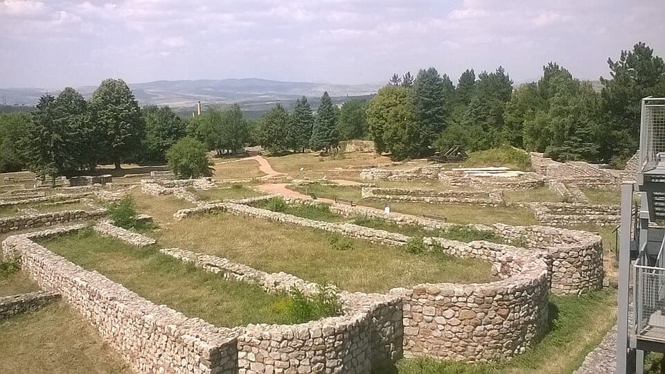
Discover Pernik and the Tran region on a day trip from Sofia! Explore the Underground Mining Museum, Krakra Fortress, the dramatic Erma River Gorge, and the Bulgarian Yoghurt Museum — tickets, parking, and insider tips.
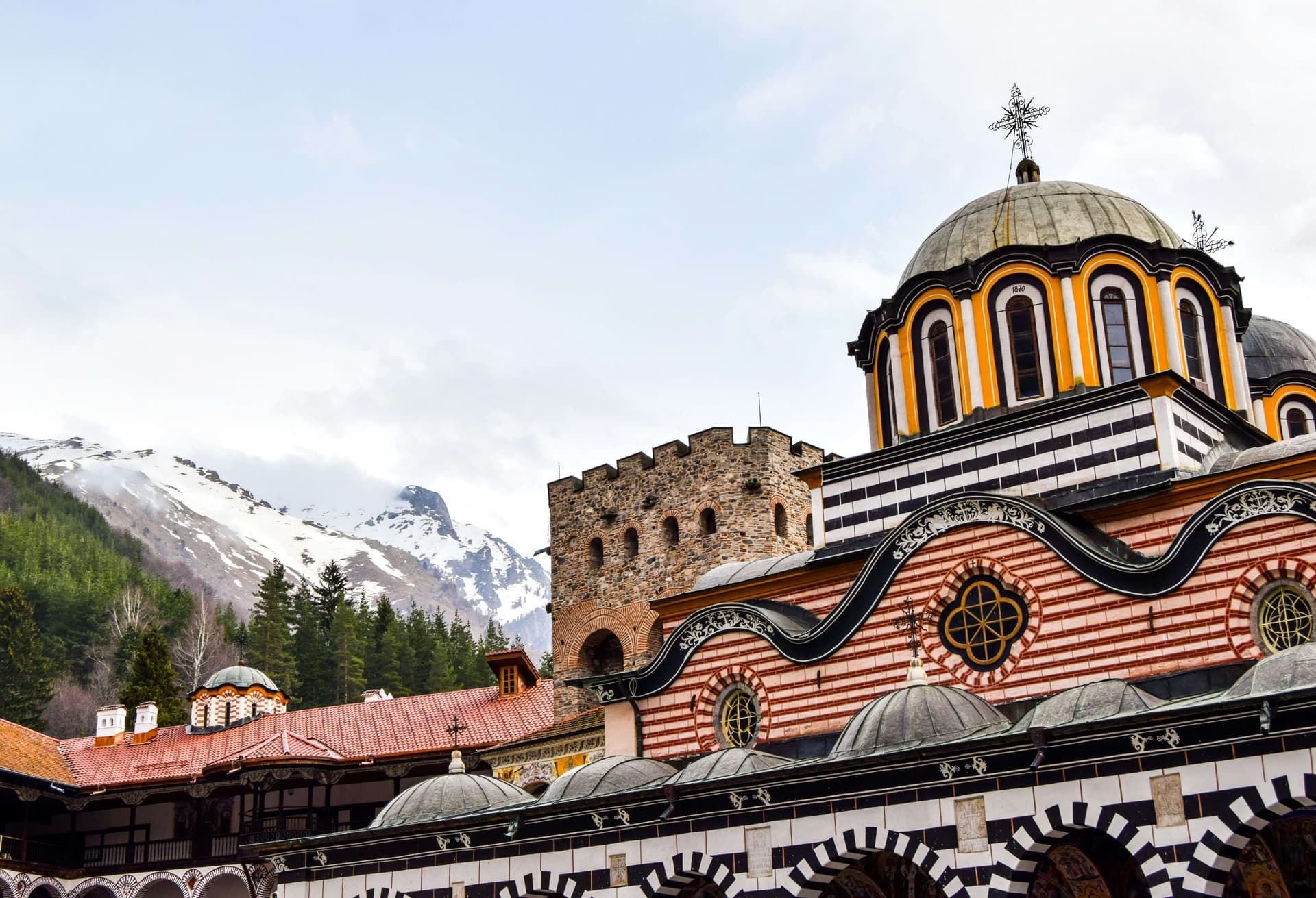
The best day trips from Sofia: Rila Monastery, the Seven Rila Lakes, Vitosha, Koprivshtitsa, Plovdiv and more — with distances, travel times and how to go.

How to hike Cherni Vrah (2,290 m), the summit of Vitosha above Sofia — the route from Aleko, bus 66, the lifts that still run, difficulty, and season.
Cherni peak is located in Pernik, Bulgaria.
Cherni peak is most easily reached by car. Use the coordinates above to navigate, or open the location in OpenStreetMap or your preferred maps app for turn-by-turn directions. Public transport options vary by region — for remote destinations a rental car gives the most flexibility.
Late spring through early autumn (May–September) is best for Cherni peak, when trails are clear of snow and weather is most stable. Higher peaks may hold snow into June and see fresh snow as early as October. Winter visits are for experienced mountaineers with proper gear.
Cherni peak reaches an elevation of 2,290 metres above sea level.
Hiking boots, layered clothing, water (1.5–2 L per person), sun protection, and a windproof jacket — mountain weather changes quickly. For longer routes also bring a map (paper or offline), a head torch, and emergency rations. Tell someone your planned route and expected return time.