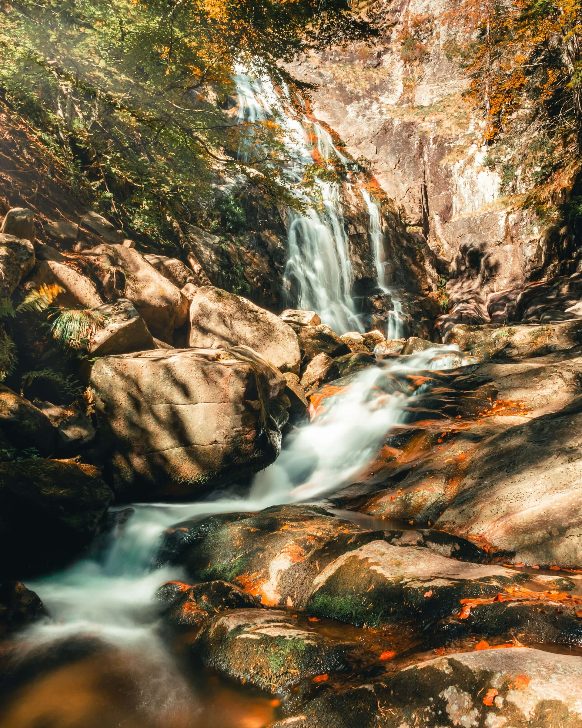
Sinite Kamani (Blue Rocks) Nature Park covers the southern slopes of the Sliven mountain, part of the Eastern Balkan range, right above Sliven. The town forms the park's southern boundary. To the north, west and east the park is ringed by large forests.
The park was declared on 28 November 1980 and enlarged to 11,380 ha in 2002. Its lowest point is at about 300 m and its highest is Balgarka peak (1,181 m). The northern slopes, covered in beech, are steep and hard to reach. The southern slopes above the town are cut by gullies and ravines with sparse vegetation.
About 90% of the park is broadleaf forest, mostly Moesian beech, hornbeam, sessile oak and Turkey oak. 1,027 species of higher plants have been recorded, among them 14 Bulgarian endemics and 43 Red Book species. The park is also rich in animals: 244 vertebrate species and more than 800 species of butterflies and moths. Many of them are more typical of the Thracian plain than of the Balkan range.
Many marked paths enter the park from Sliven. The easiest way up to the ridge is the chairlift to Karandila. The southern slopes are open and hot in summer, so carry water.

Sliven region
3.4 km away
Sliven region
3.7 km away
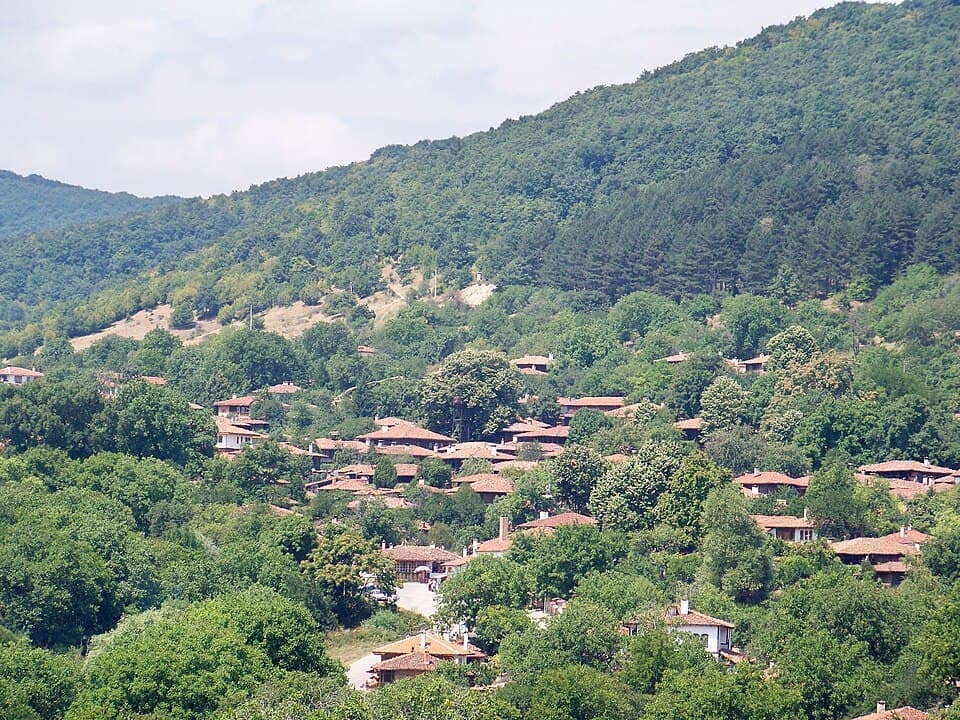
A winter weekend in Kotel and Zheravna: Rakovski's Pantheon, Kotel carpets and the natural history museum, Zheravna's 200 wooden houses and Medven — getting there from Burgas and Varna.
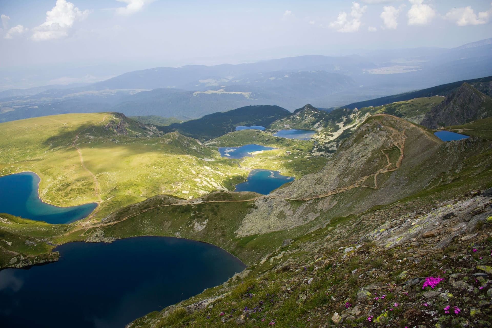
A guide to Bulgaria's three national parks and eleven nature parks — Rila, Pirin, Central Balkan, Vitosha, Vrachanski Balkan, Strandzha, Persina and the rest — what the categories mean and which to visit.
Blue Rocks Nature Park is located in Sliven, Bulgaria.
Blue Rocks Nature Park is most easily reached by car. Use the coordinates above to navigate, or open the location in OpenStreetMap or your preferred maps app for turn-by-turn directions. Public transport options vary by region — for remote destinations a rental car gives the most flexibility.
Blue Rocks Nature Park is best walked from May through October, when the trail is clear of snow and weather is generally stable. Summer middays can be hot at lower altitudes — start early. Winter walking requires proper gear and route knowledge.
Suitability depends on the specific route. Bulgarian trails range from paved family-friendly paths to multi-day high-mountain crossings. Check the length, elevation gain, and surface before setting off. Sturdy footwear, water, and a basic map (offline or paper) are essential even on short walks.