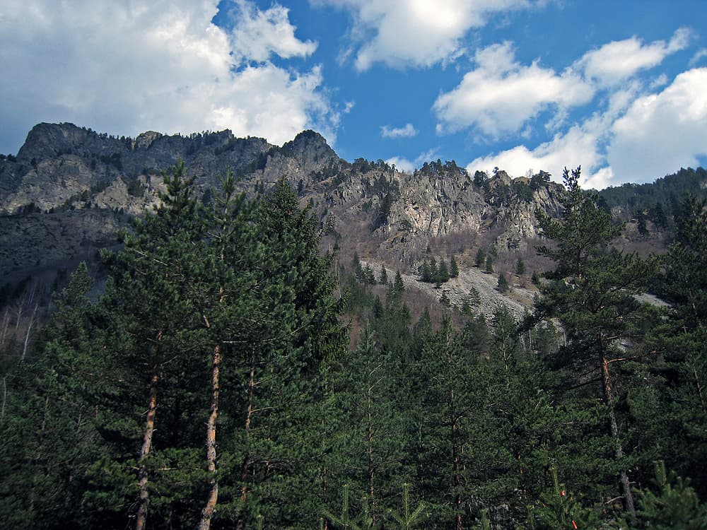
The Yarlovo – Belchin route is the mountain variant of a stage of the Sultans Trail, an international long-distance hiking route from Vienna to Istanbul. It is about 29 km long and crosses the Verila mountains.
It starts in Yarlovo, a village on the southern slopes of Vitosha, and crosses the ridges of Verila down to Belchin. It alternates between village streets, dirt roads and forest paths. The Sultans Trail rates it as moderate. The main variant of the stage is shorter — about 17.4 km along the Palakariya river valley.
Belchin lies in a basin between Rila, Verila, Vitosha and Plana and is known for its thermal water (41 °C). Above the village, on St Spas hill, stands the late Roman fortress of Tsari Mali Grad, excavated in 2007–2010; a Thracian sanctuary occupied the same spot before it. Belchin also has the cemetery church of St Petka from the mid-17th century.
29 km with several climbs — this is a full day’s walk. Carry water, food and the route’s GPS track.
Yarlovo is about 40 km from Sofia, and Belchin 15 km from Samokov. The route is one-way, so plan your return from Belchin in advance.

Sofia region
7.7 km away
Sofia region
8.9 km away
Kyustendil region
13.3 km away
Yarlovo – Belchin (via Verila) is located in Sofia Province, Bulgaria.
Yarlovo – Belchin (via Verila) is most easily reached by car. Use the coordinates above to navigate, or open the location in OpenStreetMap or your preferred maps app for turn-by-turn directions. Public transport options vary by region — for remote destinations a rental car gives the most flexibility.
Yarlovo – Belchin (via Verila) is best walked from May through October, when the trail is clear of snow and weather is generally stable. Summer middays can be hot at lower altitudes — start early. Winter walking requires proper gear and route knowledge.
Suitability depends on the specific route. Bulgarian trails range from paved family-friendly paths to multi-day high-mountain crossings. Check the length, elevation gain, and surface before setting off. Sturdy footwear, water, and a basic map (offline or paper) are essential even on short walks.