The Karlovo Waterfall, popularly known simply as Suchurum, is a remarkably beautiful natural landmark nestled at the southern foothills of the Central Balkan Mountains. The name Suchurum translates to "flying water", which perfectly describes the sight of the rushing cascade.
The waterfall is located on the scenic Stara Reka River, right at the point where it enters the boundaries of the town of Karlovo. The water drops from a height of about 8 meters, and the site itself is situated at an altitude of 480 meters, making it highly accessible and a favorite spot for walks. Immediately below the waterfall is the historic Levski Hydroelectric Power Plant, followed by the northernmost town park, which offers local visitors and tourists a refreshing retreat into nature.

Plovdiv region
2.0 km away
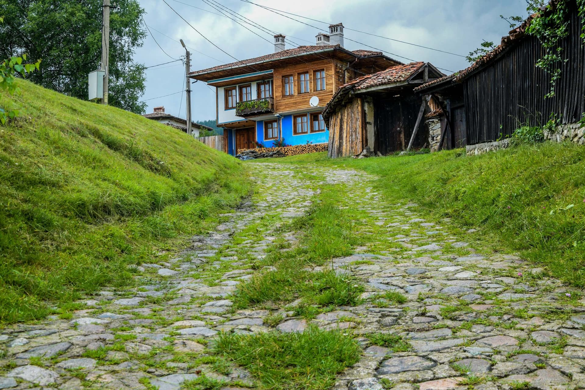
A complete 4-day Bulgarian National Revival road trip: Koprivshtitsa, Panagyurishte, Karlovo, and Kalofer — drive times, house-museums, and practical tips.
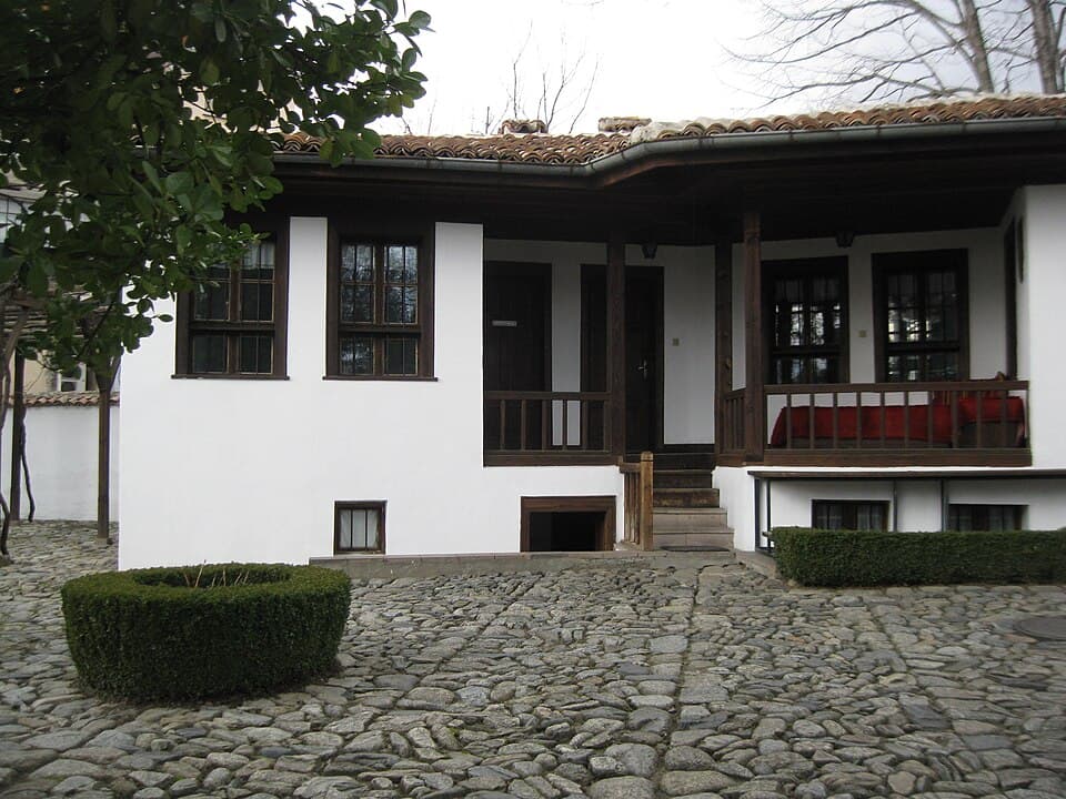
Planning a trip to Karlovo? Explore our ultimate travel guide featuring the Vasil Levski Museum, Suchurum Waterfall, parking tips, and family activities.
Suchurum Waterfall is located in Plovdiv, Bulgaria.
Suchurum Waterfall is most easily reached by car. Use the coordinates above to navigate, or open the location in OpenStreetMap or your preferred maps app for turn-by-turn directions. Public transport options vary by region — for remote destinations a rental car gives the most flexibility.
Suchurum Waterfall can be visited year-round. Spring and autumn offer the most pleasant conditions for exploring, with mild temperatures and fewer crowds. Summer is ideal for photography and longer day trips; winter visits are possible but weather can limit access at some sites.
Most natural landmarks in Bulgaria are freely accessible and open year-round, though some sites have entrance fees or require a guide. Wear sturdy footwear and bring water, as the terrain can be uneven. Respect any protective barriers and stay on marked paths to preserve the site.