The route leads from the Smesite area above the village of Cherni Osam to the Zelenikovo monastery of St John the Forerunner in the Troyan Balkan. It is marked in green. The monastery is about 5 km south of Cherni Osam and about 8 km south-east of Troyan Monastery.
The path starts at Smesite, where the Levi and Desni Osam rivers meet, and climbs gently through broadleaf forest. The climb takes about 1:30–2 hours each way. It is easy and suits families with children who are used to walking.
The Zelenikovo monastery is a working skete under Troyan Monastery, in the Zelenikovets area. Abbot Partenii of Troyan Monastery founded it in 1832. It burned soon afterwards. During the April Uprising of 1876 Ottoman troops destroyed it while hunting Filip Totyu's band. It was rebuilt in 1913, and the new church was consecrated in 1914. Its iconostasis is the work of master Filip Ivanov of the Debar school. The oldest building dates from 1872.
The monastery has no electricity or running water. It offers simple lodging for walkers, but conditions are basic. Bring food, water and a torch if you are staying, and respect the monastic routine. The area is in the Central Balkan National Park, so leave no rubbish and light no fires.
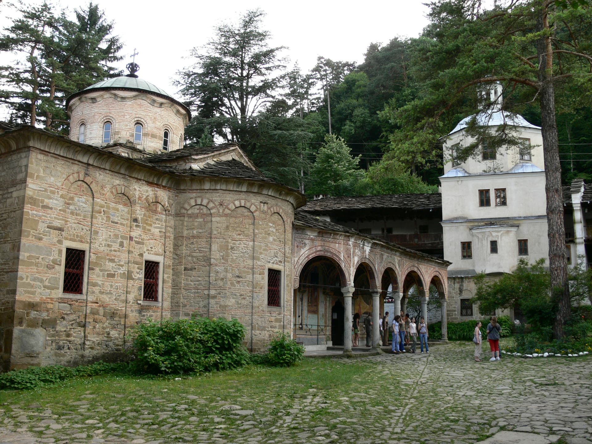
Lovech region
7.4 km away

Lovech region
8.1 km away

Lovech region
8.4 km away
Smesite (Cherni Osam) – Zelenikovski Monastery is located in Lovech, Bulgaria.
Smesite (Cherni Osam) – Zelenikovski Monastery is most easily reached by car. Use the coordinates above to navigate, or open the location in OpenStreetMap or your preferred maps app for turn-by-turn directions. Public transport options vary by region — for remote destinations a rental car gives the most flexibility.
Smesite (Cherni Osam) – Zelenikovski Monastery is best walked from May through October, when the trail is clear of snow and weather is generally stable. Summer middays can be hot at lower altitudes — start early. Winter walking requires proper gear and route knowledge.
Suitability depends on the specific route. Bulgarian trails range from paved family-friendly paths to multi-day high-mountain crossings. Check the length, elevation gain, and surface before setting off. Sturdy footwear, water, and a basic map (offline or paper) are essential even on short walks.