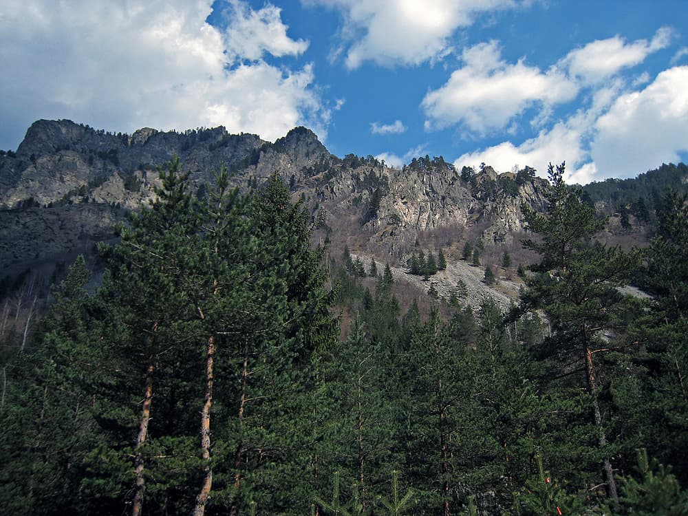
The Petrenski Dol eco-trail follows the valley of the Petranitsa river (also called Petrenski Dol) above Gara Lakatnik, in the Iskar gorge, Svoge municipality. It is about 65 km from Sofia, roughly an hour and a half by car.
On the Iskar gorge road from Svoge, just before Gara Lakatnik, turn left towards the village of Gubislav. Soon you will see, on the right of the road, the waterfall where the Proboynitsa and Petranitsa rivers meet. There is a fountain, convenient parking and information boards by it, and the trail starts here.
The path runs almost entirely along the river, whose narrow, canyon-like valley is a chain of small waterfalls and clear pools. There are several footbridges and paths on both banks, so you can vary the walk. The eco-trail ends on a mound with a view of the village of Gara Lakatnik and the cabin above the Orlovo Gnezdo shelter.
The marked trail is about 2.6 km one way. There and back is about 5.4 km and around 2.5 hours with breaks. The climb is moderate.
The route is easy and suits children and older walkers. By the water, rocks and footbridges are slippery after rain, so wear shoes with a firm sole. The Lakatnik Rocks and Temnata Dupka cave are close by, so the walk fits easily into a day in the gorge.

Sofia region
0.9 km away

Sofia region
0.9 km away
Sofia region
1.1 km away

Sofia region
1.1 km away
Petrenski Dol Eco Trail is located in Sofia Province, Bulgaria.
Petrenski Dol Eco Trail is most easily reached by car. Use the coordinates above to navigate, or open the location in OpenStreetMap or your preferred maps app for turn-by-turn directions. Public transport options vary by region — for remote destinations a rental car gives the most flexibility.
Petrenski Dol Eco Trail is best walked from May through October, when the trail is clear of snow and weather is generally stable. Summer middays can be hot at lower altitudes — start early. Winter walking requires proper gear and route knowledge.
Suitability depends on the specific route. Bulgarian trails range from paved family-friendly paths to multi-day high-mountain crossings. Check the length, elevation gain, and surface before setting off. Sturdy footwear, water, and a basic map (offline or paper) are essential even on short walks.