This waymarked route runs from Martsiganitsa hut, 4 km above the village of Dobrostan, west across the Western Rhodopes to Pashaliytsa hut on the Radyuva ridge. It is a long day: hut guides give about 6½ hours one way.
Pashaliytsa hut has not operated since 2019, so there is nowhere to eat or sleep at the end of the route. Plan it as a one-way walk with a car waiting at the far end – an asphalt road reaches the hut – or walk part of it and turn back. Martsiganitsa, at 1,412 m, is open, with about 100 beds and a restaurant, and is reached by 4 km of asphalt from Dobrostan.
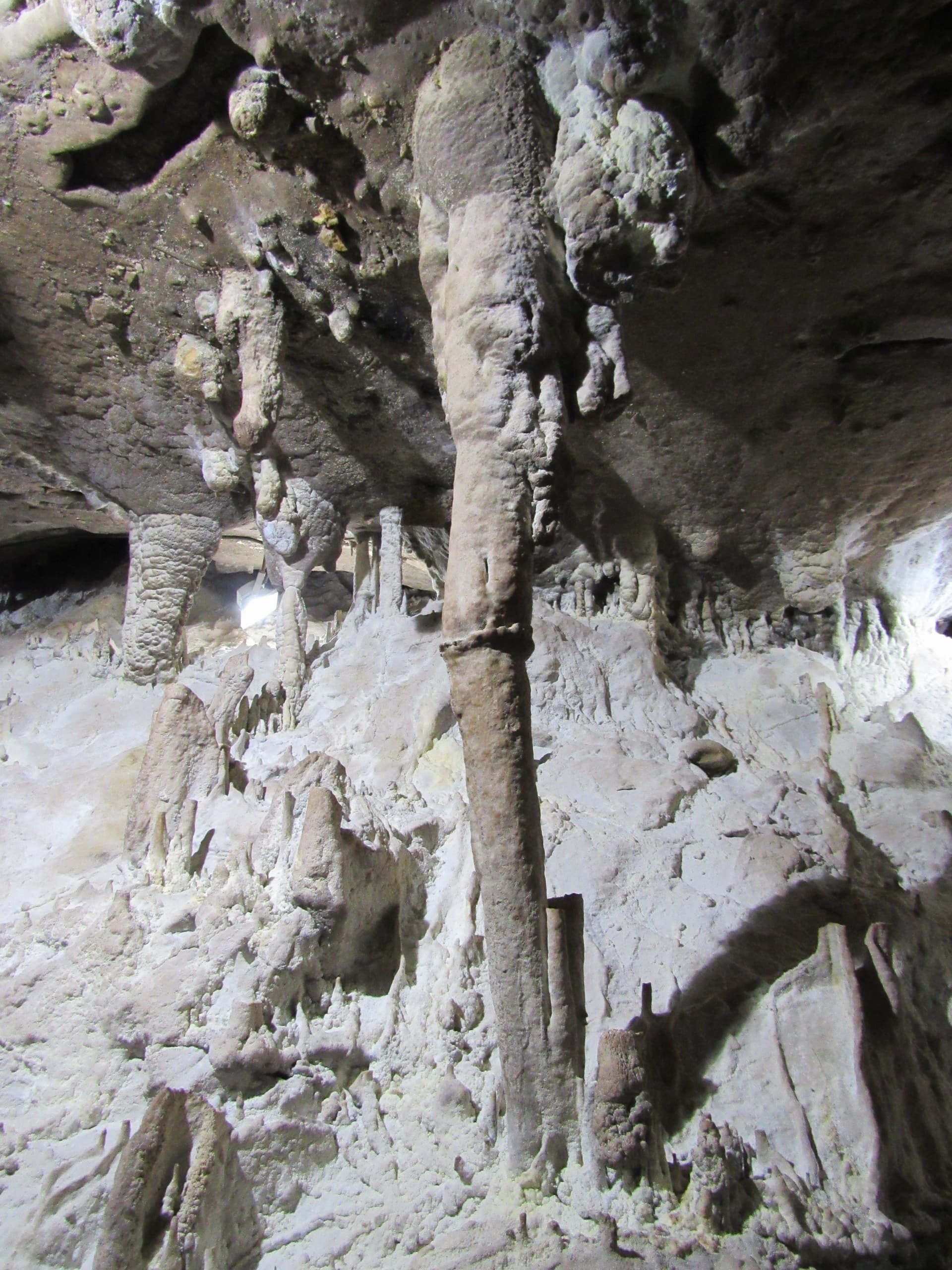
The first stretch shares its waymarks with the path to the Dobrostanski Biser cave, about 20 minutes from Martsiganitsa. It is a small cave, about 44 m long, with a narrow vertical entrance into a lit chamber of formations and small lakes. It reopened in May 2026 after restoration and opens on set days in the warm season, so check before you go. Beyond the cave the path passes Popa peak (1,317 m) and continues through mixed and old beech forest, where the green waymarks of this route part from the yellow ones heading down to the Slivov Dol waterfall.
Water sources along the way are few, so carry enough for the whole day, and take a map or GPS track for the forest sections.
Plovdiv
0.4 km away

Plovdiv
1.2 km away
Plovdiv
1.8 km away
Plovdiv
2.8 km away
hut Martsiganitsa - hut Pashaliytsa is located in Plovdiv, Bulgaria.
hut Martsiganitsa - hut Pashaliytsa is most easily reached by car. Use the coordinates above to navigate, or open the location in OpenStreetMap or your preferred maps app for turn-by-turn directions. Public transport options vary by region — for remote destinations a rental car gives the most flexibility.
hut Martsiganitsa - hut Pashaliytsa is best walked from May through October, when the trail is clear of snow and weather is generally stable. Summer middays can be hot at lower altitudes — start early. Winter walking requires proper gear and route knowledge.
Suitability depends on the specific route. Bulgarian trails range from paved family-friendly paths to multi-day high-mountain crossings. Check the length, elevation gain, and surface before setting off. Sturdy footwear, water, and a basic map (offline or paper) are essential even on short walks.