The route links Bezbog hut with Demyanitsa hut in Northern Pirin. It is marked in yellow, the path is about 10 km, and the walk takes about 4 hours 30 minutes.
Bezbog hut stands at 2,236 m by Bezbog lake, at the foot of Bezbog peak. You reach it by the chairlift from Gotse Delchev hut above Dobrinishte, opened in 1989: about 3.5 km and 35 minutes. The lift runs in suitable weather, so check its schedule in advance.
From Bezbog the path heads north-west over the ridge and drops into the Demyanitsa valley. It passes the Valyavishki lakes, about 1:30 hours from Demyanitsa hut. The last part runs through conifer forest to the hut.
The hut stands at 1,891 m above the meeting of the Vasilashka, Demyanitsa and Gazeyska rivers. It opened in 1932 and has about 217 beds and a restaurant. From there you walk down to Bansko in about 4 hours.
The walk is for people with mountain experience. The high part is open and rocky, and the weather changes quickly. The season is July to September. A convenient plan is the lift to Bezbog, the walk to Demyanitsa, and down to Bansko the next day.
Popovo lake is about 1:20 hours from the hut, Bezbog peak 50 minutes, and Polezhan peak about 2 hours.
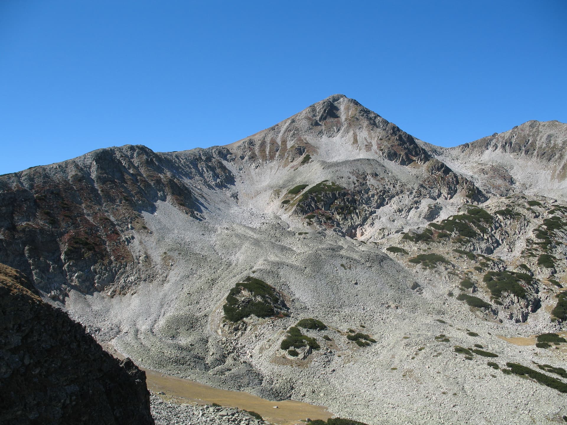
Blagoevgrad region
0.2 km away

Blagoevgrad region
0.4 km away
Blagoevgrad region
0.6 km away
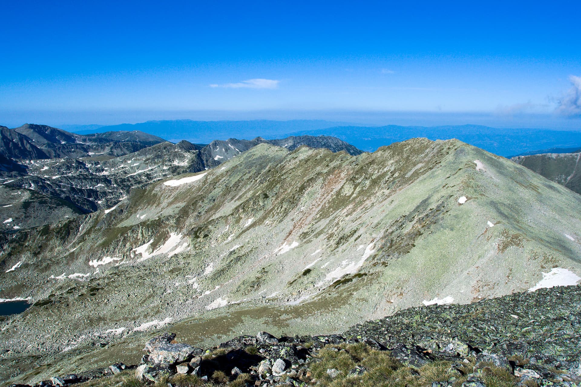
Blagoevgrad region
0.6 km away
Bezbog Hut – Demyanitsa Hut is located in Blagoevgrad, Bulgaria.
Bezbog Hut – Demyanitsa Hut is most easily reached by car. Use the coordinates above to navigate, or open the location in OpenStreetMap or your preferred maps app for turn-by-turn directions. Public transport options vary by region — for remote destinations a rental car gives the most flexibility.
Bezbog Hut – Demyanitsa Hut is best walked from May through October, when the trail is clear of snow and weather is generally stable. Summer middays can be hot at lower altitudes — start early. Winter walking requires proper gear and route knowledge.
Suitability depends on the specific route. Bulgarian trails range from paved family-friendly paths to multi-day high-mountain crossings. Check the length, elevation gain, and surface before setting off. Sturdy footwear, water, and a basic map (offline or paper) are essential even on short walks.