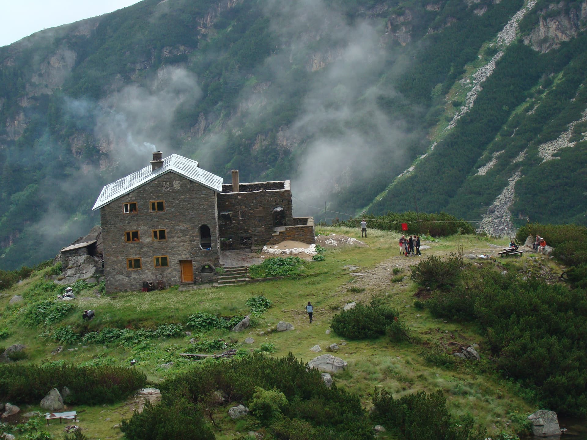
Forget the city noise and immerse yourself in the embrace of Plana Mountain with the captivating route from Gurgulitsa Hut to Skalovitets Waterfall! This easy to moderate hike, located in the Sofia region, is ideal for families and nature lovers seeking a quick escape from the busy daily life of the capital. The trail begins at the cozy Gurgulitsa Hut, nestled amidst ancient forests. From here, the markings lead you along a wide forest path that gently descends towards the picturesque valley of the Vedena River. The air is fresh, saturated with the scent of pine trees and damp soil, and bird songs accompany your every step. The route is relatively flat, with slight elevation changes, making it accessible even for children and beginner hikers. After about 45 minutes to 1 hour of leisurely walking, you will hear the characteristic rumble of falling water. This is a sign that you are approaching the hidden gem – Skalovitets Waterfall. The water gracefully descends over sheer cliffs, forming a picturesque watery ledge. The place is cool and enchanting, ideal for a short break, a picnic, or simply to enjoy the beauty of nature. In spring, the waterfall is at its fullest and most impressive, but even in summer, it offers a refreshing sight. This route is more than just a hike – it's an opportunity to reconnect with nature, breathe clean air, and recharge your senses. Don't forget to bring a camera to capture the beauty of Skalovitets! The return to the hut is along the same path. A wonderful one-day adventure, just a stone's throw from the capital.

Sofia Province
6.8 km away
Sofia Province
7.4 km away
Sofia Province
7.5 km away
Blagoevgrad
7.7 km away
h. Gurgulitsa - vodopad Skalovitets is located in Sofia Province, Bulgaria.
h. Gurgulitsa - vodopad Skalovitets is most easily reached by car. Use the coordinates above to navigate, or open the location in OpenStreetMap or your preferred maps app for turn-by-turn directions. Public transport options vary by region — for remote destinations a rental car gives the most flexibility.
h. Gurgulitsa - vodopad Skalovitets is best walked from May through October, when the trail is clear of snow and weather is generally stable. Summer middays can be hot at lower altitudes — start early. Winter walking requires proper gear and route knowledge.
Suitability depends on the specific route. Bulgarian trails range from paved family-friendly paths to multi-day high-mountain crossings. Check the length, elevation gain, and surface before setting off. Sturdy footwear, water, and a basic map (offline or paper) are essential even on short walks.