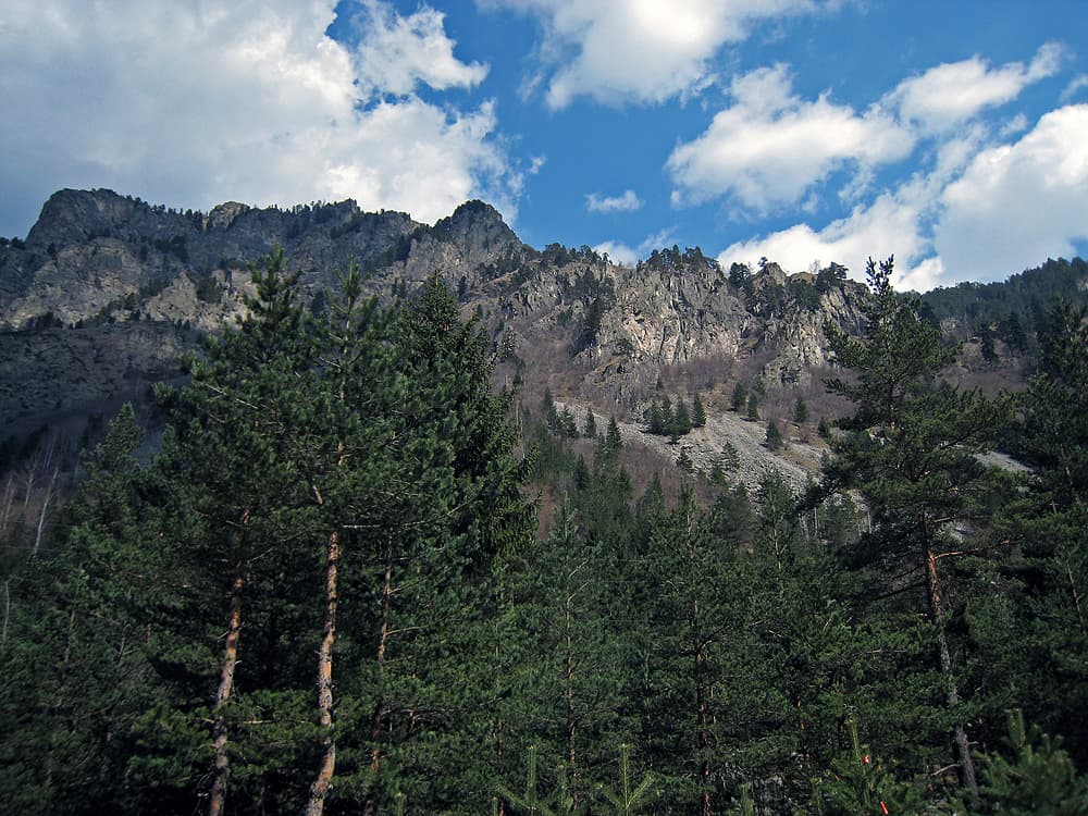
The route leads from the village of Chelopech in the Zlatitsa–Pirdop valley up into the Etropole mountain, part of the central Balkan range, to Murgana hut. It is marked in green, and the path is about 6.2 km. The hut is Murgana, not Murgash; Murgash is a different peak and hut further west.
Murgana hut stands at the foot of Murgana peak, in the northern part of Chelopech municipality. It is a three-storey building with about 60 beds. An asphalt road reaches it, so you can be picked up by car. The hut is a stop on the E3 long-distance path (Kom–Emine), which follows the crest of the Balkan range.
The path climbs from the village through forest towards the ridge. The climb is steady but has no technical sections, and suits children who walk well.
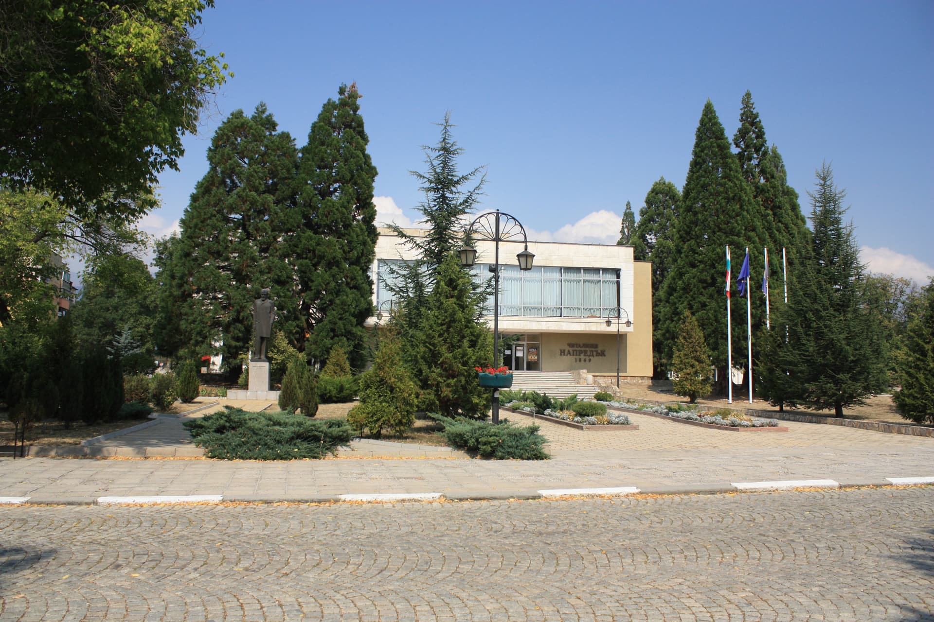
Chelopech is a village in Sofia province, known for the copper and gold mine in its lands. Zlatitsa and Pirdop are close by.
From the hut you can continue east or west along the Balkan crest on the E3. Check the times to the neighbouring huts at the hut first.

Sofia region
3.9 km away
Sofia region
5.1 km away
Sofia region
7.2 km away
Sofia region
9.7 km away
Chelopech – Murgana Hut is located in Sofia Province, Bulgaria.
Chelopech – Murgana Hut is most easily reached by car. Use the coordinates above to navigate, or open the location in OpenStreetMap or your preferred maps app for turn-by-turn directions. Public transport options vary by region — for remote destinations a rental car gives the most flexibility.
Chelopech – Murgana Hut is best walked from May through October, when the trail is clear of snow and weather is generally stable. Summer middays can be hot at lower altitudes — start early. Winter walking requires proper gear and route knowledge.
Suitability depends on the specific route. Bulgarian trails range from paved family-friendly paths to multi-day high-mountain crossings. Check the length, elevation gain, and surface before setting off. Sturdy footwear, water, and a basic map (offline or paper) are essential even on short walks.