South-West Bulgaria
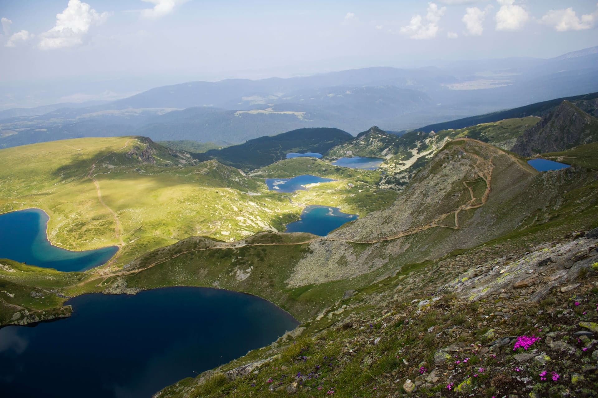
Seven Rila Lakes · Wikimedia Commons (CC-BY-SA)
South-West Bulgaria is one of the country's six planning regions and covers the oblasts of Blagoevgrad, Kyustendil, Pernik, Sofia (province), and Sofia (capital). It spans 20,306 km² and has a population of about 2,133,406 (2011). It is the most densely populated region in Bulgaria, with population concentrated in the large cities; the capital is its demographic, economic, administrative, educational, and cultural centre.
Geography & location
South-West Bulgaria has an exceptionally favourable geographic position. International routes No. 4, 8, and 10 cross here — from Central Europe via Belgrade, Niš, and Sofia toward Asia; from Lom and Vidin through the Petrohan Pass and the Iskar gorge into Sofia and down the Struma valley to Thessaloniki; and from Ruse via the Vitinya Pass to Sofia–Kyustendil–Gyueshevo. Other roads connect the region northward to North-West Bulgaria, eastward to South-Central Bulgaria and the Black Sea, and to the south and west to Greece, North Macedonia, and Serbia. The northern boundary runs along the ridge of the western Stara Planina but extends north of it to include areas around Botevgrad, Etropole, Berkovitsa, and Varshets that gravitate economically toward Sofia. To the east the boundary starts at Koprivshtitsa and runs meridionally through the Ihtiman Sredna Gora, the Dolna Banya basin, the Rila massif, and the Mesta river valley, reaching the Greek border along the Dabrash ridge of the Rhodopes. The southern boundary is the shortest and supports cross-border development — the Ilinden border crossing with Greece has now opened. The western boundary follows the state border, mostly mountainous and lightly developed; the key crossings are Kalotina with Serbia and Gyueshevo with North Macedonia, while a Gyueshevo–Kumanovo railway link is in planning.
Climate & natural resources
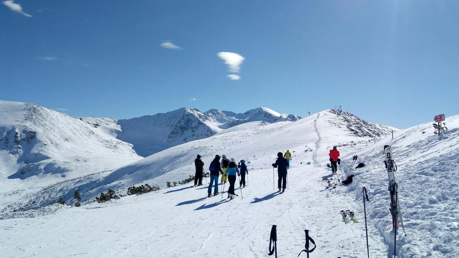
Around 75% of the region is mountainous and roughly a quarter consists of intermontane basins; about 8.8% of the country's arable land also lies here. The varied relief favours agriculture, forestry, tourism, transport, and the development of the settlement network. The climate shifts markedly from north to south — temperate-continental in the north, transitional in the middle, and continental-Mediterranean in the south — which shapes crop specialisation, while the mountain climate underpins winter and hiking tourism. Among mineral resources, the most economically significant are brown coal at Bobov Dol and Pernik (feedstock for thermal power plants), iron ore at Kremikovtsi, copper ore in the Etropole area, lead-zinc ore in the Osogovo mountains, limestones at Zemen and Slivnitsa, clays at Elin Pelin, and marbles for the construction industry.
Rivers & water resources
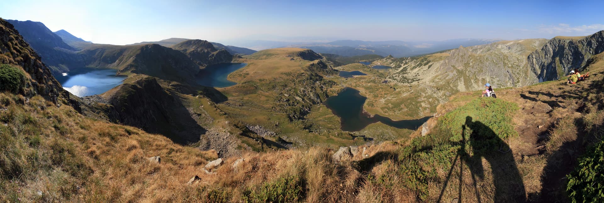
The region holds more than one-fifth of the country's river and groundwater resources, used in an integrated way — for water supply, irrigation, industry, and electricity generation (the Iskar reservoir, the Kokalyane and Pasarel hydropower plants, the Sandanska Bistritsa cascade, and others). A particular asset is the wealth of mineral springs at Sofia, Bankya, Sandanski, Kyustendil, and Sapareva Banya, which support spa tourism and greenhouse production. The high-mountain lakes of Rila and Pirin — among them the Seven Rila Lakes and Popovo Lake — are also major tourism assets.
Soils & farmland
The region's soils are diverse. Smolnitsa (vertisols) are most widespread in the northern basins, alongside cinnamon forest soils and alluvial-meadow soils in the south, with brown forest soils prevailing at higher elevations. This soil diversity supports a wide range of crops — from cereals and tobacco in the southern valleys to potatoes and orchard fruit at higher altitudes.
Forests
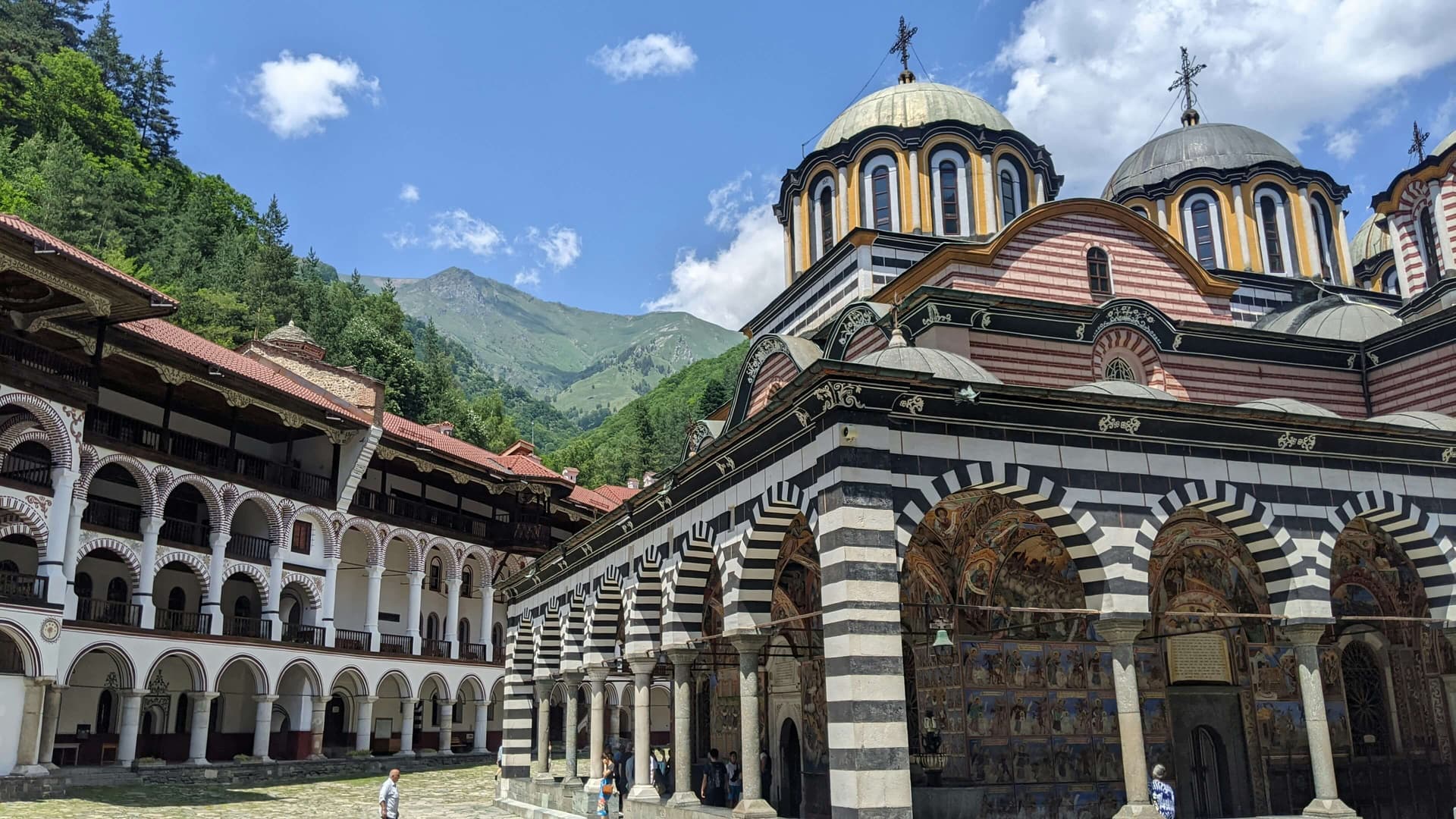
Nearly 40% of the region is covered by forest, and it holds around one-third of the country's coniferous forests and about half of its pastures. Timber reserves are modest, but the region is home to some of Bulgaria's most important protected areas — Rila and Pirin national parks (the latter UNESCO-listed), Vitosha Nature Park, and the Sokolata, Tsarna Reka, Tisata, Kongura, and Gabra reserves — which draw visitors year-round.
Population & settlements
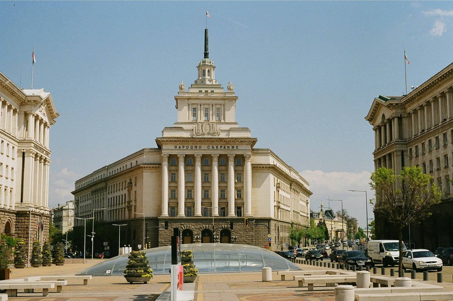
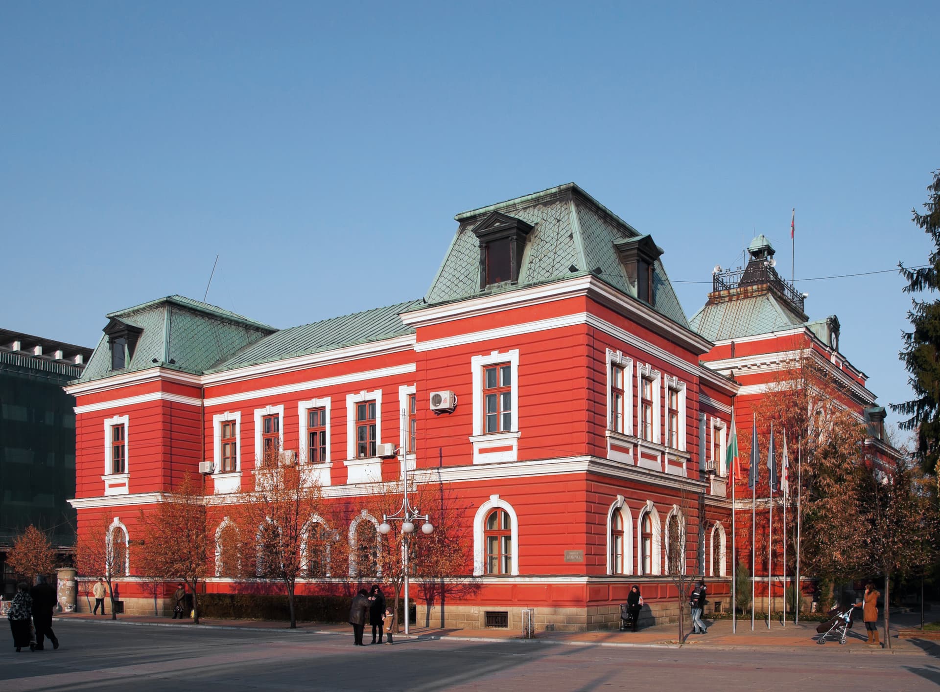
South-West Bulgaria has a total population of about 2.1 million, more than half of whom live in Sofia — the only Bulgarian city with a density above 1,000 people per km². The best age structure is found along the Mesta river valley, where birth rates remain comparatively high. In the larger cities the age structure is deteriorating, driven by out-migration that mainly affects the young. Sofia concentrates a significant share of Bulgaria's labour force and intellectual resources — its urban population is overwhelming, and the ethnic structure is homogeneous. The region's settlement network includes 952 places, of which 48 are cities and 904 are villages. Sofia plays the defining role in the region, with functions of national-level importance, while the other larger centres are the oblast capitals Pernik, Blagoevgrad, and Kyustendil.