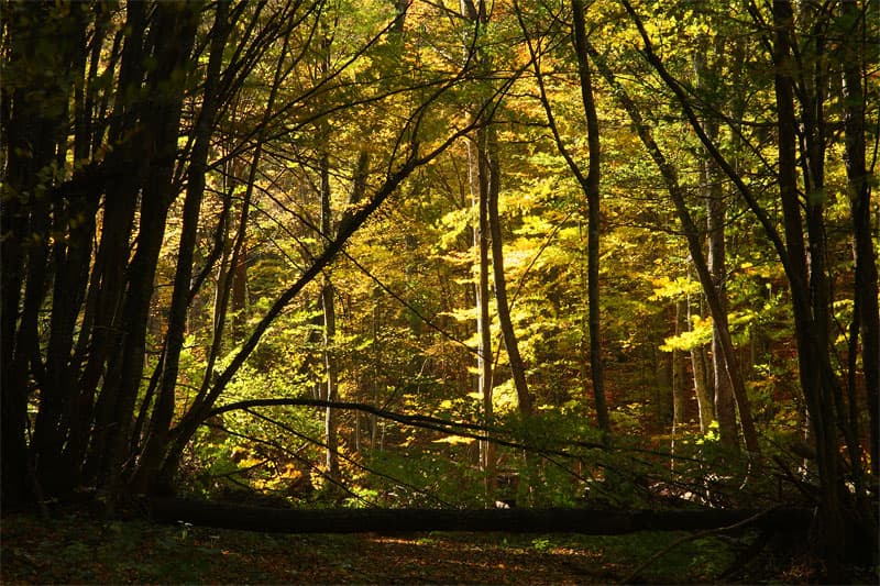
This 14.43-km circular hike starts from the picturesque village of Terziyuvtsi, located near the famous mineral spa resort of Voneshta Voda. The route winds through lush forests and scenic ridges of the Central Balkan Mountains, offering a medium-intensity workout and a peaceful escape into nature. Route Facts & Logistics: - Type: Loop - Distance: 14.43 km - Estimated Duration: Approx. 4 hours 20 minutes - Elevation Gain: 302 m (total), with combined climbs of 466 m - Altitude: From 344 m to 861 m - Difficulty: Moderate Climb Breakdown: The hike features two main ascents that define the challenge: - Climb 1: +170 m over 2.09 km (average gradient 8.1%). - Climb 2: +296 m over 4.19 km (average gradient 7.1%). Why Hike This Trail? The trail connects the remote hamlets of the Voneshta Voda region with the Studen Kladenets area, providing hikers with fresh mountain air and authentic rural landscapes. It is an excellent choice for a weekend getaway, combining exercise with the healing atmosphere of the nearby spa region. Practical Information: - Transport: Terziyuvtsi is accessible via the main road between Veliko Tarnovo and Gurkovo. If using public transport, check the bus schedule for Voneshta Voda departing from Veliko Tarnovo. - Railway Connection: The nearest major railway hub is Veliko Tarnovo. Be sure to check the train schedule for Veliko Tarnovo to coordinate your arrival from Sofia or Varna. - Starting Point: The only starting point for this specific GPS loop is the village of Terziyuvtsi.

Gabrovo
10.9 km away

Gabrovo
11.1 km away
Gabrovo
11.3 km away
Voneshta Voda - m.Studen kladenets is located in Veliko Tarnovo, Bulgaria.
Voneshta Voda - m.Studen kladenets is most easily reached by car. Use the coordinates above to navigate, or open the location in OpenStreetMap or your preferred maps app for turn-by-turn directions. Public transport options vary by region — for remote destinations a rental car gives the most flexibility.
Voneshta Voda - m.Studen kladenets is best walked from May through October, when the trail is clear of snow and weather is generally stable. Summer middays can be hot at lower altitudes — start early. Winter walking requires proper gear and route knowledge.
Suitability depends on the specific route. Bulgarian trails range from paved family-friendly paths to multi-day high-mountain crossings. Check the length, elevation gain, and surface before setting off. Sturdy footwear, water, and a basic map (offline or paper) are essential even on short walks.