MestalaMestala
HomePlacesMapTripBlogAboutFAQ
EN|БГ

Discover Bulgaria with Mestala.

AboutFAQLicensePrivacy
TrailsVratsa

Po stapkite na Botevata cheta

HomePlacesTrailsPo stapkite na Botevata cheta
Coordinates: 43.48147, 23.68971
View on OpenStreetMapGet directions

The National Tourist Trek In the Footsteps of Botevs Detachment is one of the largest, most patriotic, and long-standing hiking events in Bulgaria. Held annually since 1946 without a single interruption, the trek retraces the authentic historical path of the great poet, revolutionary, and commander Hristo Botev and his fearless freedom fighters. The event strongly demonstrates that the Bulgarian nation remembers its history and safeguards its deep reverence for the heroes who gave their lives for the liberty and independence of the homeland. Route Parameters and Logistics - Starting Point and Date: The banks of the Danube River in Kozloduy, where enthusiasts begin their historical walking journey on May 27. - Ending Point and Date: Okolchitsa Peak in the Vratsa Balkan Mountains—the death place of the commander, where hikers arrive on June 2 to join the official national commemoration ceremonies. - Total Distance and Difficulty: The historic trail spans 120 kilometers and is classified under the third category of difficulty, making it accessible to hikers with decent physical conditioning. - National Landmarks: The itinerary integrates several iconic historical sites belonging to the 100 National Tourist Sites of Bulgaria. Participation Rules and Scope - Open Registration: The trek is fully open to tourist societies from all over the country, youth clubs, and hiking sections with an unlimited number of participants. - Flexibility: Individual travelers and independent groups who do not belong to a specific formal organization are completely free to join at any stage along the route. - Generations of Remembrance: Hundreds of students and young people traditionally form the core of the expedition. Public interest in this meaningful cultural trek continues to grow, with new school and community groups from various regions joining the lines each season.

7-day forecast

Weather data from MET Norway

Nearby Places

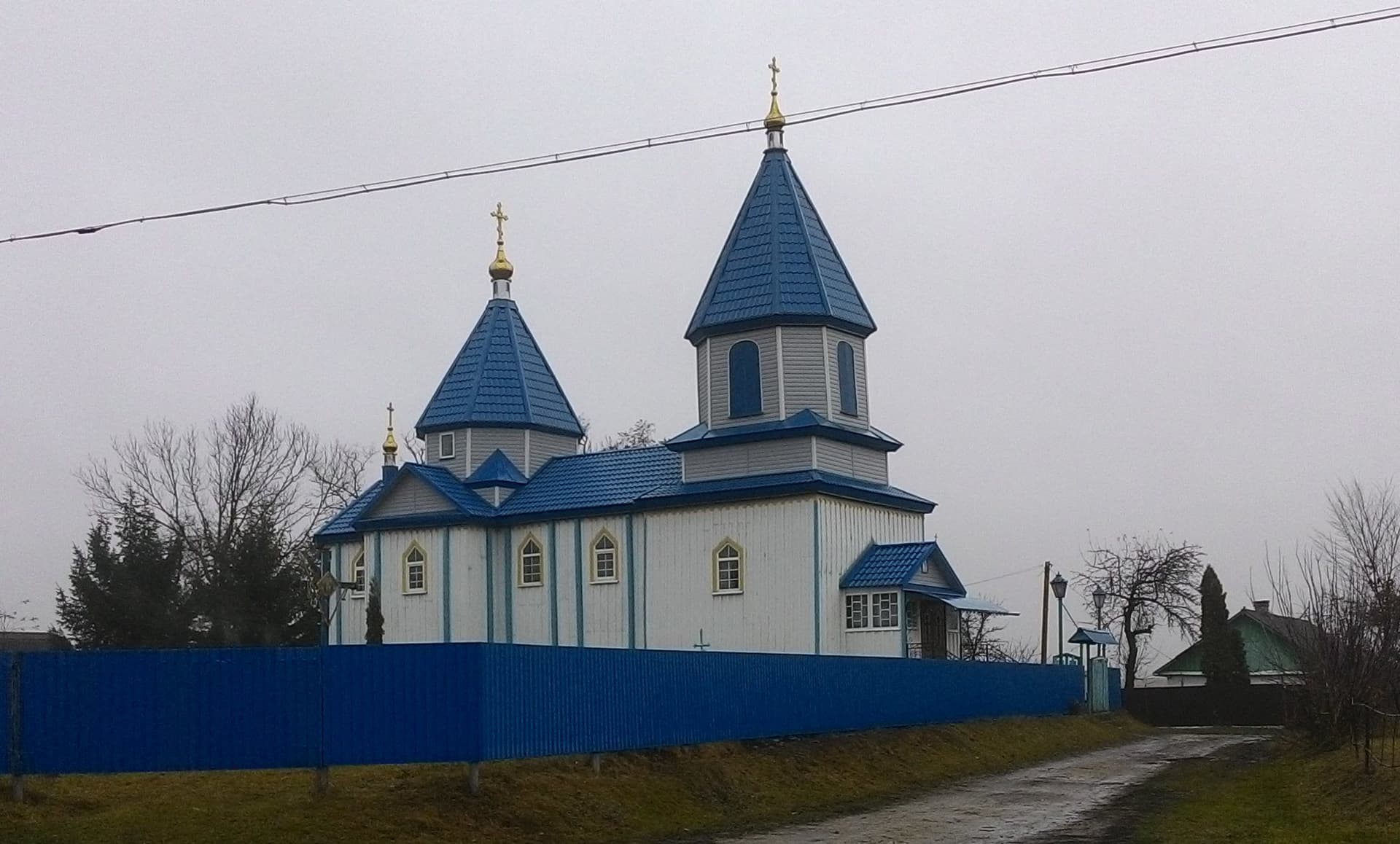
Rogozen
Settlements

Rogozen

Vratsa

4.4 km away

Popovoto hanche
Museums

Popovoto hanche

Vratsa

19.7 km away

Ponora
Caves

Ponora

Vratsa

21.5 km away

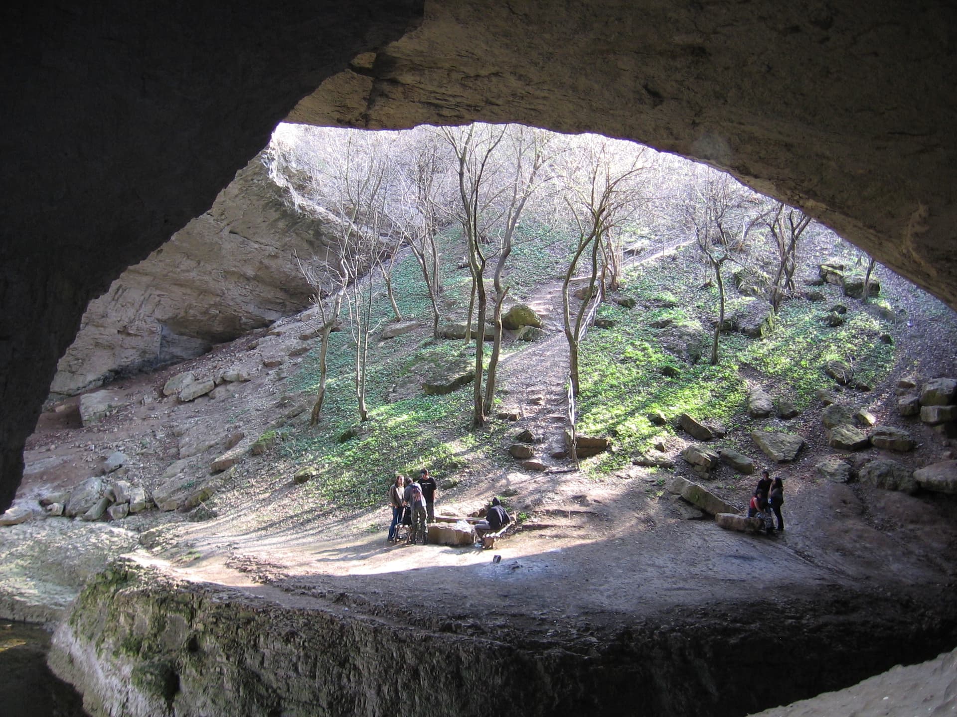
God's bridge
Caves

God's bridge

Vratsa

21.6 km away

More to explore

Ecotrail waterfall Borov Kamak
Trails

Ecotrail waterfall Borov Kamak

Vratsa

Parshevitsa Hut - Okolchitsa Hut
Trails

Parshevitsa Hut - Okolchitsa Hut

Vratsa

Eco Trail - Prosechen Kamik
Trails

Eco Trail - Prosechen Kamik

Vratsa

Vratsa - Okolchitsa - Parshevitsa Hut
Trails

Vratsa - Okolchitsa - Parshevitsa Hut

Vratsa

Frequently asked questions

Where is Po stapkite na Botevata cheta located?

Po stapkite na Botevata cheta is located in Vratsa, Bulgaria.

How do I get to Po stapkite na Botevata cheta?

Po stapkite na Botevata cheta is most easily reached by car. Use the coordinates above to navigate, or open the location in OpenStreetMap or your preferred maps app for turn-by-turn directions. Public transport options vary by region — for remote destinations a rental car gives the most flexibility.

What is the best time to visit Po stapkite na Botevata cheta?

Po stapkite na Botevata cheta is best walked from May through October, when the trail is clear of snow and weather is generally stable. Summer middays can be hot at lower altitudes — start early. Winter walking requires proper gear and route knowledge.

Is Po stapkite na Botevata cheta suitable for beginners?

Suitability depends on the specific route. Bulgarian trails range from paved family-friendly paths to multi-day high-mountain crossings. Check the length, elevation gain, and surface before setting off. Sturdy footwear, water, and a basic map (offline or paper) are essential even on short walks.