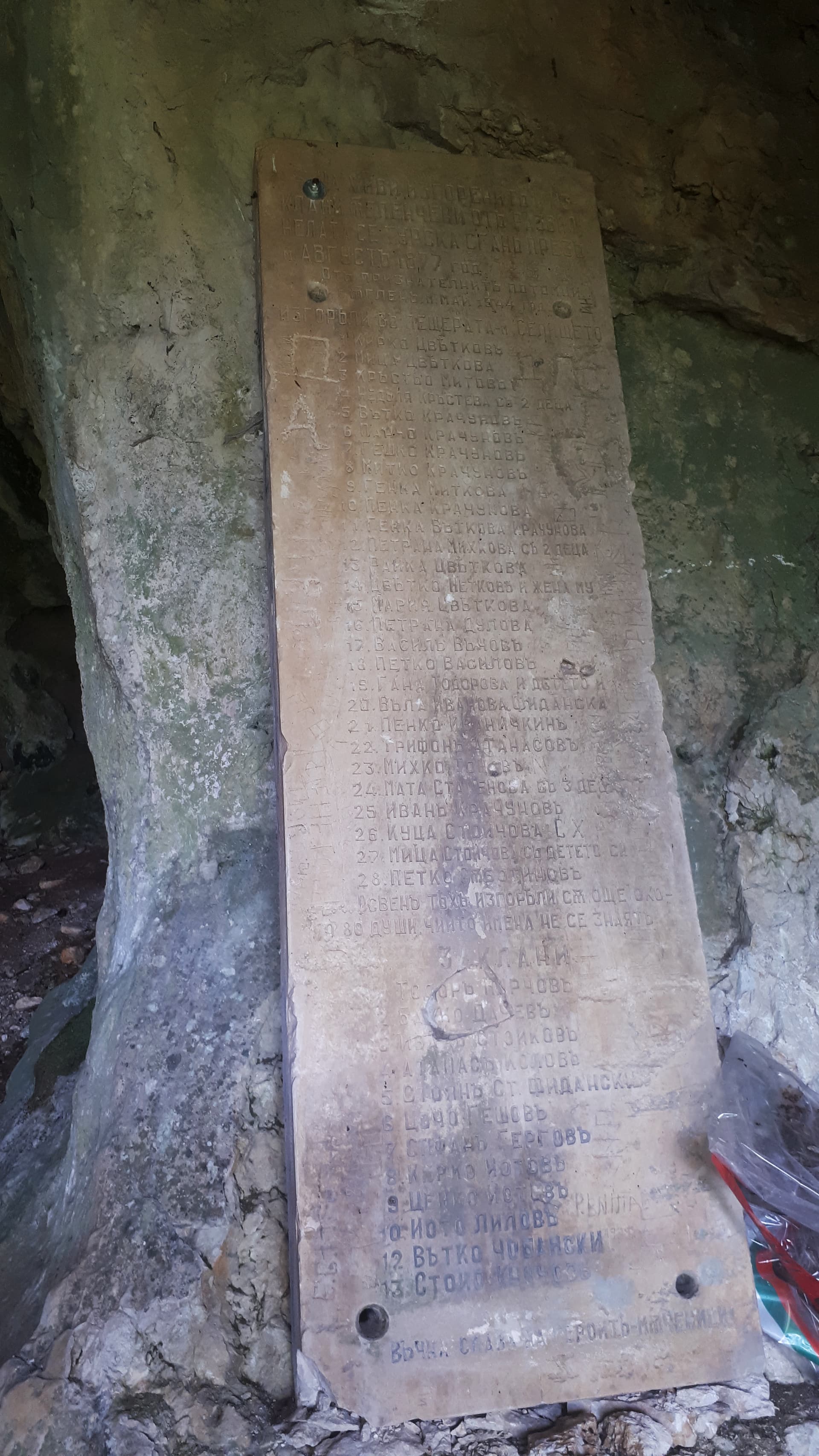
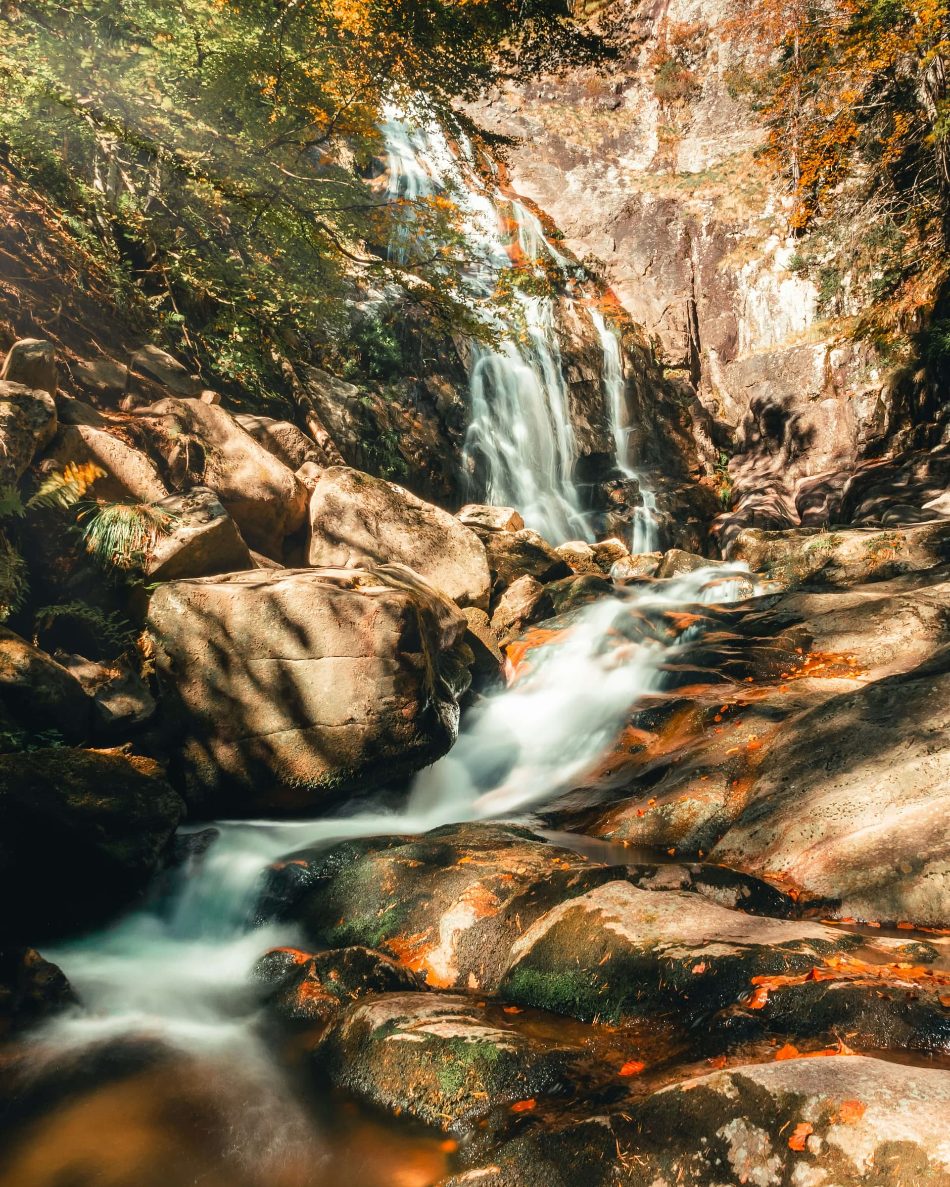
The route leaves the village of Orehovo in the Western Rhodopes and climbs through conifer forest to Kabata hut. The first 1.7 km or so out of the village are waymarked in blue and pass the chapels of St John the Baptist, the Holy Cross, St John of Rila and St Bartholomew. Orehovo is about 30 km from Bachkovo.
Sources give 2 to 3 hours up in summer. In winter, in snow, it can take 4 hours.
Kabata hut stands at about 1,655 m on the Kabata meadow, between Gurgutevitsa peak and Tsirikova Tsarkva. It has two taverns and a place for a campfire. Around it are the buildings of the former Slanchevi Polyani school camp, many of them abandoned.
The path climbs steadily with no technical sections and suits children used to walking a few hours. In winter the waymarks can be buried in snow, so carry a map or GPS.

Smolyan region
1.8 km away
Smolyan region
2.6 km away
Smolyan region
2.9 km away
Orehovo – Kabata Hut is located in Smolyan, Bulgaria.
Orehovo – Kabata Hut is most easily reached by car. Use the coordinates above to navigate, or open the location in OpenStreetMap or your preferred maps app for turn-by-turn directions. Public transport options vary by region — for remote destinations a rental car gives the most flexibility.
Orehovo – Kabata Hut is best walked from May through October, when the trail is clear of snow and weather is generally stable. Summer middays can be hot at lower altitudes — start early. Winter walking requires proper gear and route knowledge.
Suitability depends on the specific route. Bulgarian trails range from paved family-friendly paths to multi-day high-mountain crossings. Check the length, elevation gain, and surface before setting off. Sturdy footwear, water, and a basic map (offline or paper) are essential even on short walks.