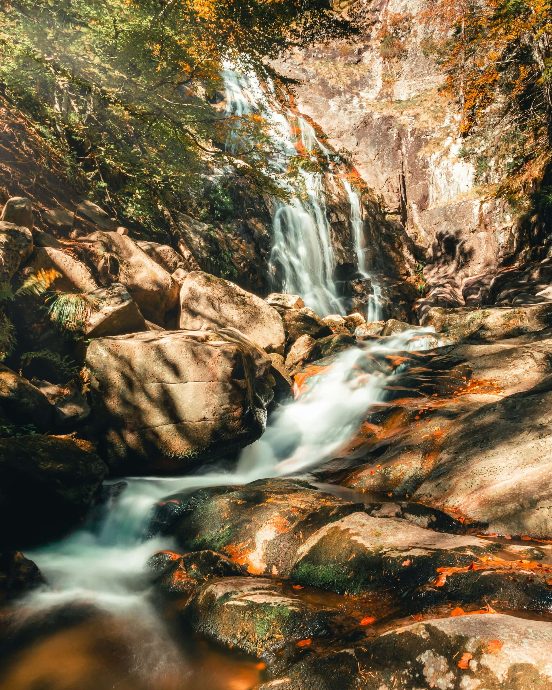
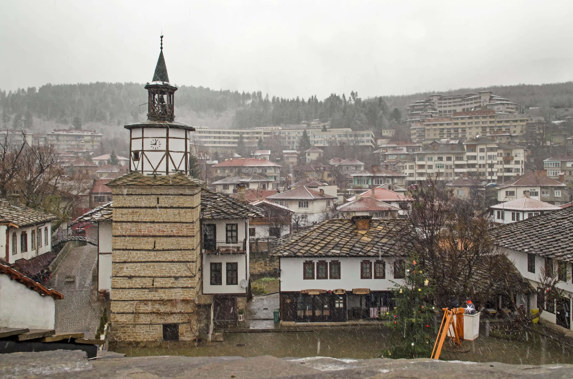
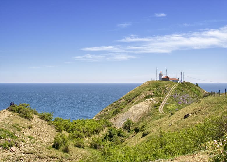
The route links Parshevitsa hut in the Vratsa Balkan with Okolchitsa peak and the monument to Botev’s band. It is waymarked in green and is about 13.8 km long.
From the hut the path runs through the Borov Kamak and Tsarevo Livade areas to Okolchitsa. The walk takes about 4–4.5 hours.
On Okolchitsa, also called Vola, Botev’s band fought its last battle on 1 June 1876 (20 May Old Style). On the summit stands a 35 m monument with a militia cross, raised in 1936–1939. In the Yolkovitsa hollow an inscription on a rock marks the spot where Hristo Botev was killed. Okolchitsa is one of the 100 National Tourist Sites, and national celebrations are held here every year on 2 June. From Parshevitsa hut it is also an easy climb to Beglichka Mogila (1,481 m), the highest peak of the Vratsa mountains.
A long but moderate walk. Okolchitsa hut, about 300 m from the monument, is not in use, so do not count on a bed or food there. The 100 National Tourist Sites stamp is kept at the Baba Iliytsa House Museum in Chelopek and at the Vratsa Regional History Museum.
Parshevitsa hut is about an hour from the Borov Kamak eco trail above Zgorigrad. In summer there is a regular bus from Vratsa to Okolchitsa; in other seasons buses run to Chelopek, 8 km short of it.
Parshevitsa Hut – Okolchitsa is located in Vratsa, Bulgaria.
Parshevitsa Hut – Okolchitsa is most easily reached by car. Use the coordinates above to navigate, or open the location in OpenStreetMap or your preferred maps app for turn-by-turn directions. Public transport options vary by region — for remote destinations a rental car gives the most flexibility.
Parshevitsa Hut – Okolchitsa is best walked from May through October, when the trail is clear of snow and weather is generally stable. Summer middays can be hot at lower altitudes — start early. Winter walking requires proper gear and route knowledge.
Suitability depends on the specific route. Bulgarian trails range from paved family-friendly paths to multi-day high-mountain crossings. Check the length, elevation gain, and surface before setting off. Sturdy footwear, water, and a basic map (offline or paper) are essential even on short walks.