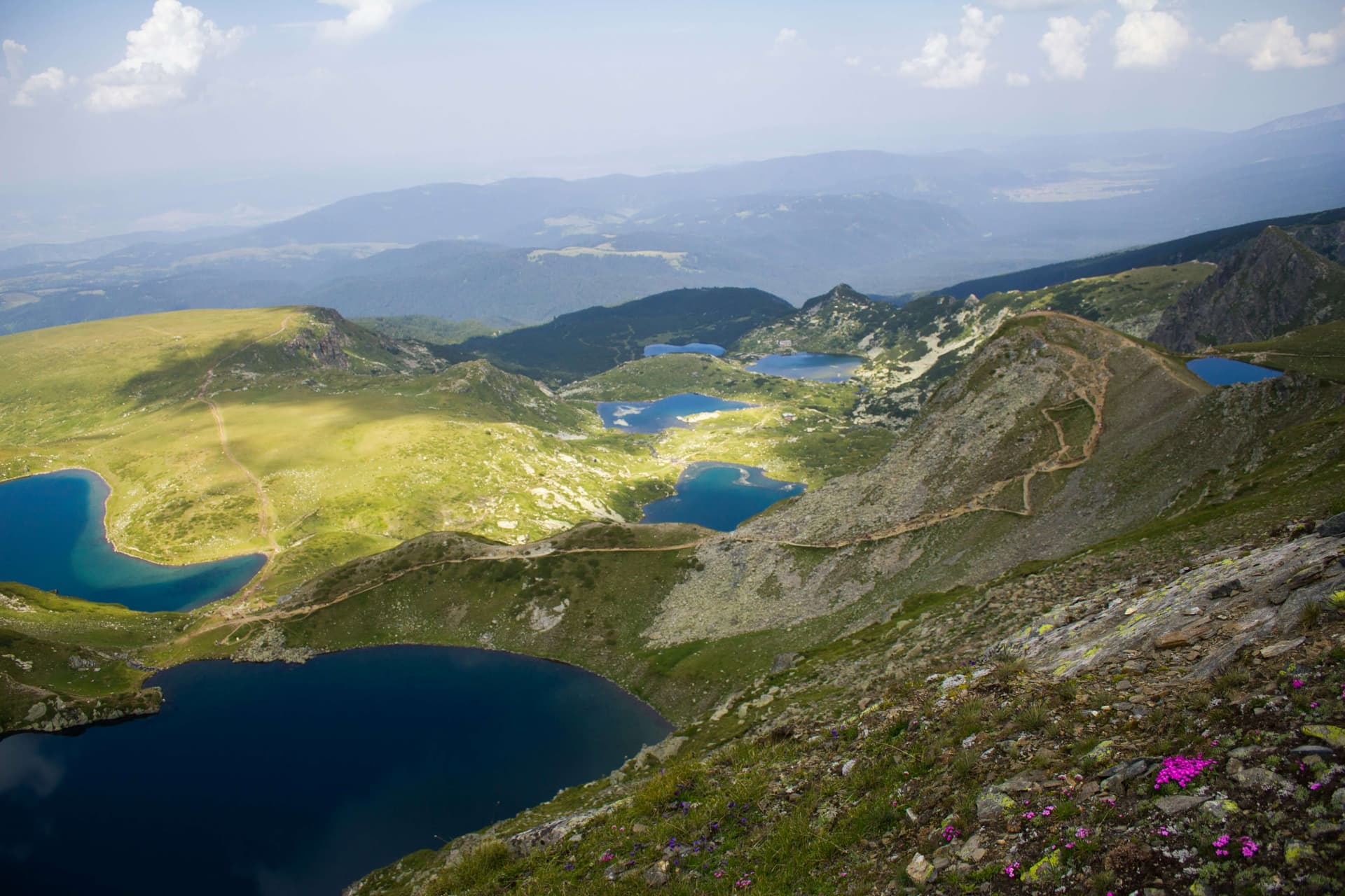
The route leads from Osogovo hut to Ruen peak (2,251 m), the highest in the Osogovo mountain, on the border with North Macedonia. It is marked in red, and the climb takes about 3 hours 30 minutes each way.
Ruen is on the state border. You need permission from the Border Police to climb it, so arrange it before you set off.
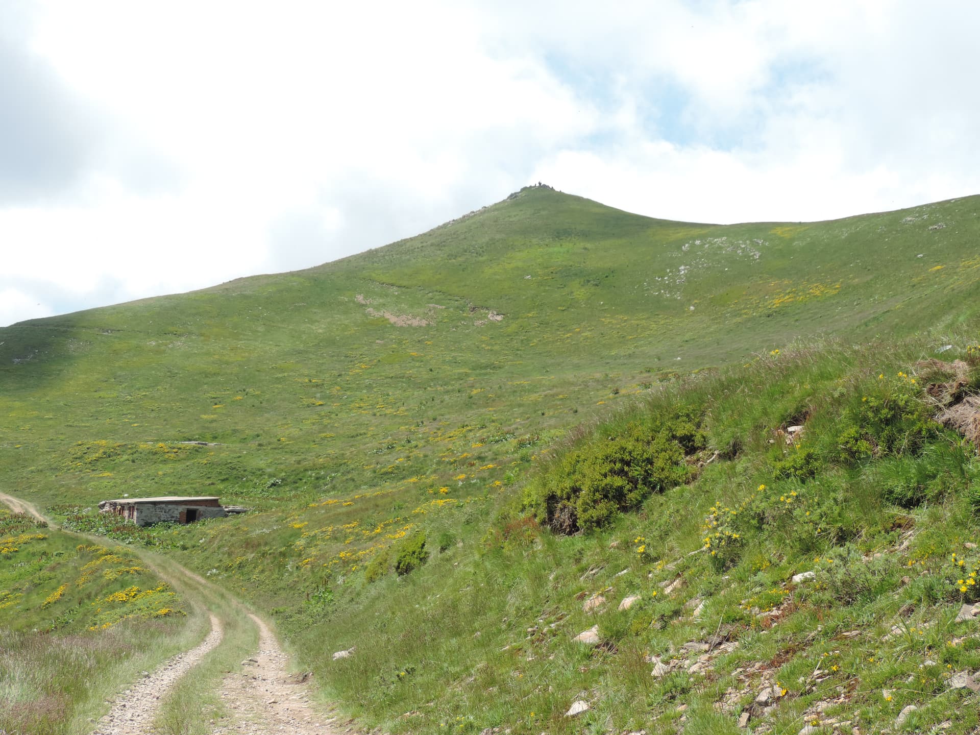
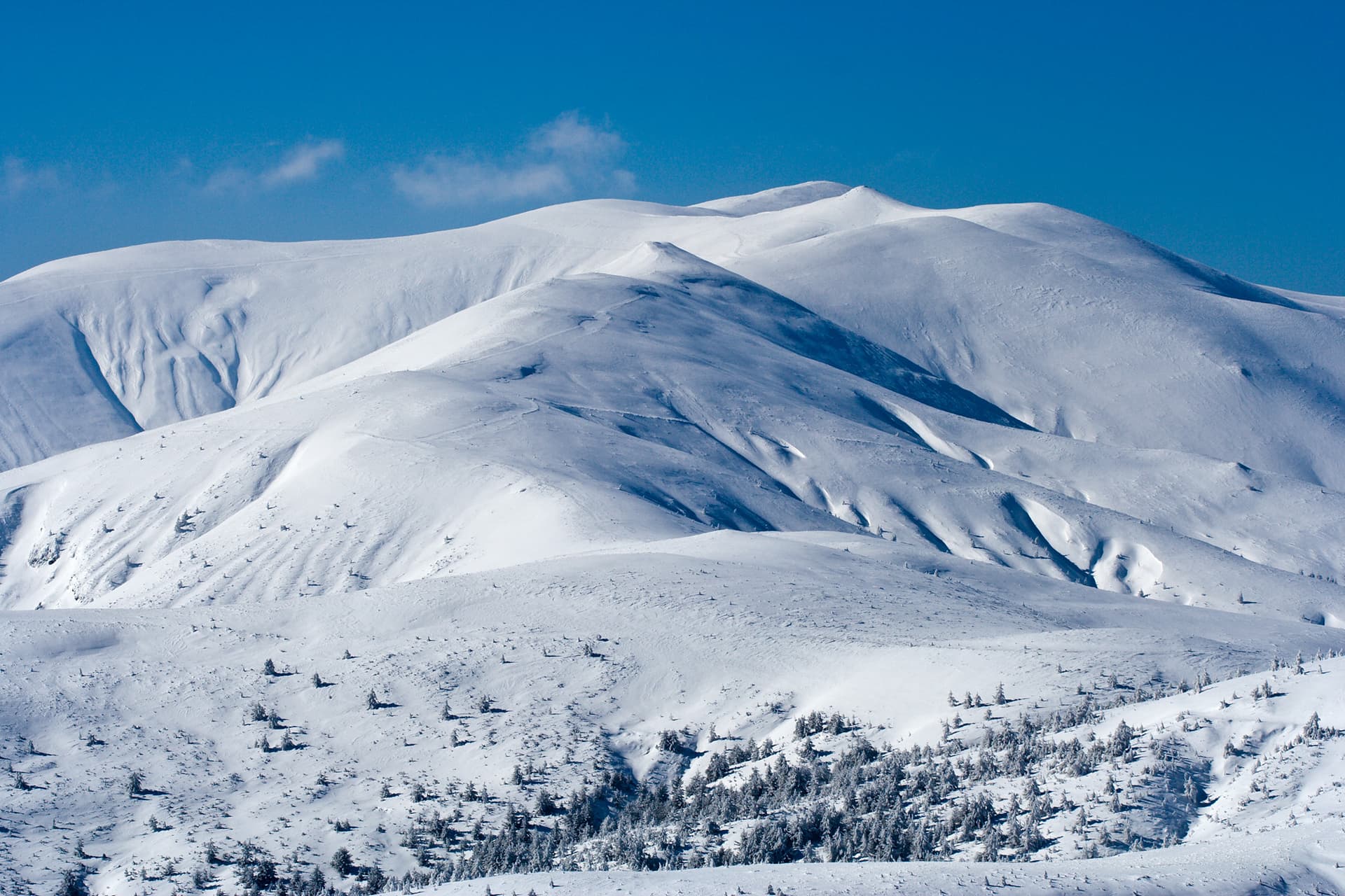
The hut and the nearby Tri Buki area share almost the same route. From Tri Buki the path is about 12.5 km long. It starts in forest, soon comes out into the open and follows a wide dirt road almost to the end. Halfway is the Prevala shelter, where you turn left at the fork. There are three fountains on the way. Before the summit the winter and summer variants split: the winter one goes over the peaks of Tsarni Kamak, Shapka and Mali Ruen, while the summer one keeps to the dirt road.
Osogovo hut stands at 1,640 m in the Plaviloto area below Kyunek peak, 18 km by asphalt road from Kyustendil. Kyustendil hikers built it in 1927–1928, and it was the first hut in the mountain. It has about 37 beds. The Ruen stamp for the 100 National Tourist Sites is kept at the hut and at the Trite Buki hotel.
The gradient is gentle, but the walk is long and almost entirely exposed. On a clear day you can see far in every direction. Bring a hat, water and a jacket, as the ridge is windy.
Kyustendil region
1.2 km away

Kyustendil region
2.0 km away
Kyustendil region
2.5 km away
Kyustendil region
3.1 km away
Osogovo Hut – Ruen Peak is located in Kyustendil, Bulgaria.
Osogovo Hut – Ruen Peak is most easily reached by car. Use the coordinates above to navigate, or open the location in OpenStreetMap or your preferred maps app for turn-by-turn directions. Public transport options vary by region — for remote destinations a rental car gives the most flexibility.
Osogovo Hut – Ruen Peak is best walked from May through October, when the trail is clear of snow and weather is generally stable. Summer middays can be hot at lower altitudes — start early. Winter walking requires proper gear and route knowledge.
Suitability depends on the specific route. Bulgarian trails range from paved family-friendly paths to multi-day high-mountain crossings. Check the length, elevation gain, and surface before setting off. Sturdy footwear, water, and a basic map (offline or paper) are essential even on short walks.