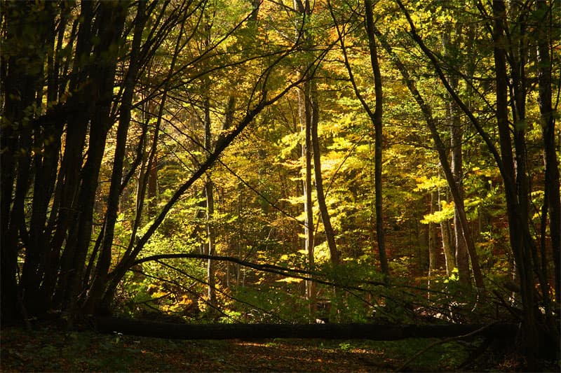
Veikata Peak (1,463 m), located in the Gyumyurdzhinski Snezhnik range of the Eastern Rhodopes, is a legendary destination for hikers as it marks the southernmost geographical point of Bulgaria. The trail combines ancient beech forests with breathtaking views of the Aegean Sea and the Greek mountains. Route Statistics - Starting Point: Gorno Kapinovo village (at the abandoned border outpost). - Intermediate Point: Hvoynova Polyana Hut (accessible via a 4 km dirt road). - Distance: Under 7 km from the hut to the summit. - Duration: Approx. 3 hours (one way). - Marking: White-Red-White (well-maintained). - Water: Refill your bottles at Hvoynova Polyana Hut; there are no springs further up. Trail Highlights - Access: The road to the hut is a rough dirt track suitable for 4x4 vehicles only. Hikers with standard cars should park at the village outpost. - To the Border: From the hut, follow the forest road and then a steep 200-meter ascent south through a beech forest to reach the state border line. - The "Three Wells" (Yuch Bunar): A short detour to the summit of Yuch Bunar (1,334.9 m) near border pyramid №2 is highly recommended. On a clear day, you can see Lake Vistonida, Porto Lagos, and the island of Thassos. - The Summit: The trail continues east along the border, eventually leading to a final steep climb to Veikata Peak. To the south, within Greece, rises the highest peak of the Eastern Rhodopes, Orlitsa. Important Tips: - Protected Area: The route lies within the "Gyumyurdzhinski Snezhnik" protected area, home to rare flora and ancient forests. - Safety: Stick to the newly marked red trail. Older paths in the area are heavily overgrown and nearly impossible to follow without GPS.
Smolyan
20.1 km away

Smolyan
20.3 km away

Smolyan
29.3 km away
Kardzhali
29.4 km away
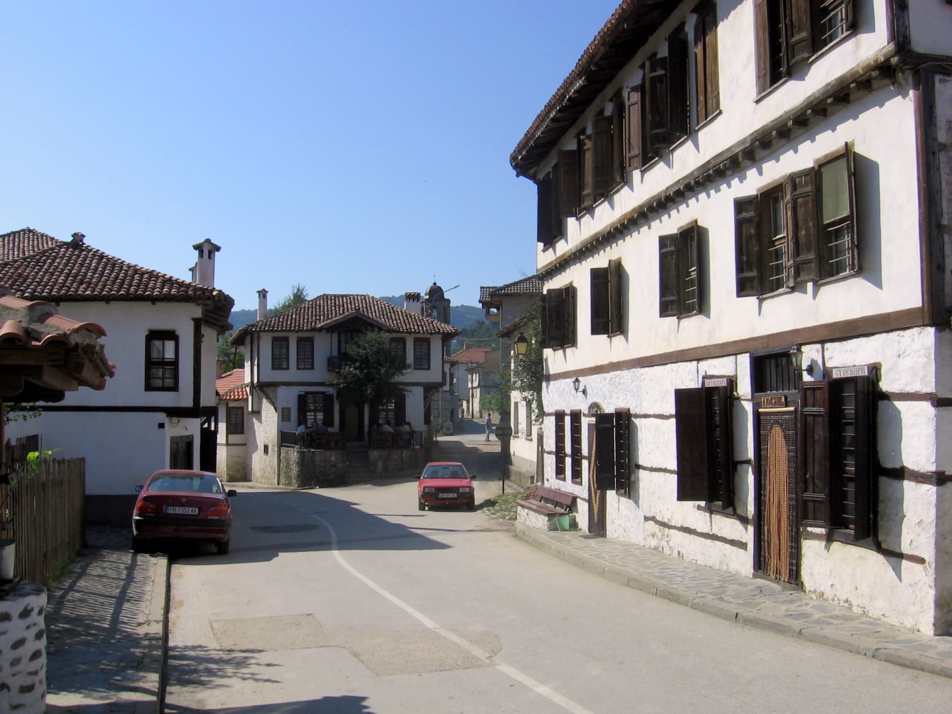
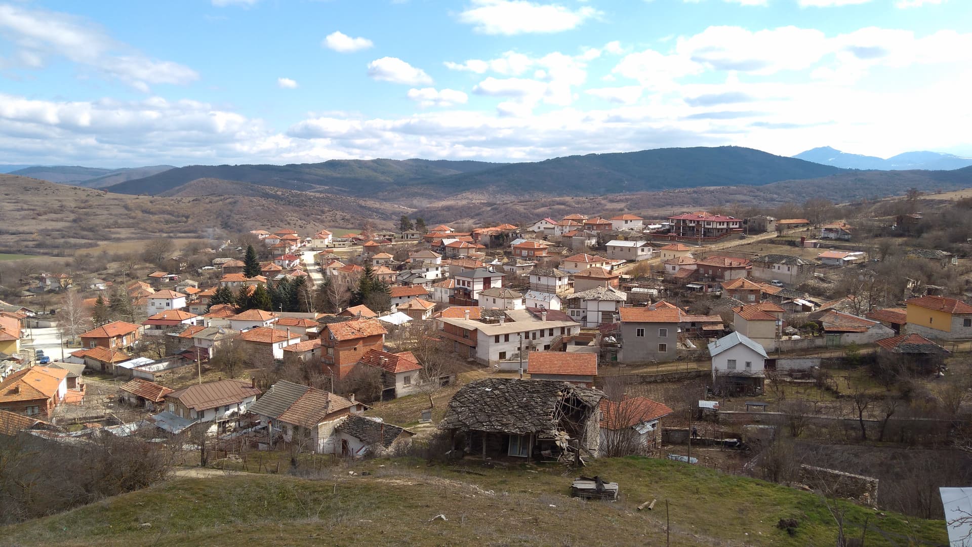
Gorno Kapinovo - v. Veykata (po patya) is located in Kardzhali, Bulgaria.
Gorno Kapinovo - v. Veykata (po patya) is most easily reached by car. Use the coordinates above to navigate, or open the location in OpenStreetMap or your preferred maps app for turn-by-turn directions. Public transport options vary by region — for remote destinations a rental car gives the most flexibility.
Gorno Kapinovo - v. Veykata (po patya) is best walked from May through October, when the trail is clear of snow and weather is generally stable. Summer middays can be hot at lower altitudes — start early. Winter walking requires proper gear and route knowledge.
Suitability depends on the specific route. Bulgarian trails range from paved family-friendly paths to multi-day high-mountain crossings. Check the length, elevation gain, and surface before setting off. Sturdy footwear, water, and a basic map (offline or paper) are essential even on short walks.