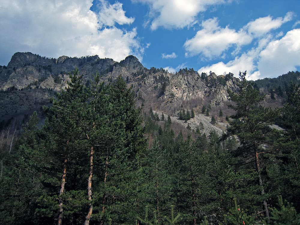
The route leads from the village of Gara Bov in the Iskar gorge to Todorini Kukli (1,785 m), a group of four rocky peaks in the Koznitsa mountains of western Stara Planina. It is waymarked in blue and is about 24.7 km long.
The route is maintained by the Ponoria hiking club. According to the club, the total ascent is 1,855 m and the descent 494 m, between 417 and 1,785 m above sea level. The waymarks are white-blue-white, with signposts.
Todorini Kukli form a short north–south ridge: the two southern peaks are grassy, the two northern ones have rocky slopes. The highest point is on the southernmost peak. From it you can see Kom, the Berkovitsa plain and Montana, and to the north-east the Vratsa Balkan. Gara Bov lies in the Iskar gorge; Ivan Vazov described the area in his travelogue “A Walk along the Iskar”.
Almost 25 km with close to 1,900 m of climbing — a long, hard day for experienced hikers. Most people climb Todorini Kukli the short way: from the Petrohan pass in about 2 hours or from Varshets in about 4. Carry enough water and food.
Gara Bov is on the Sofia – Mezdra railway, 8 km from Svoge and 51 km from Sofia. The route is one-way, so plan your descent in advance — for example to Petrohan or to Klisura Monastery, about 2.5 hours from the summit.

Sofia region
1.6 km away
Sofia region
2.0 km away
Sofia region
5.6 km away
Gara Bov – Todorini Kukli Peak is located in Sofia Province, Bulgaria.
Gara Bov – Todorini Kukli Peak is most easily reached by car. Use the coordinates above to navigate, or open the location in OpenStreetMap or your preferred maps app for turn-by-turn directions. Public transport options vary by region — for remote destinations a rental car gives the most flexibility.
Gara Bov – Todorini Kukli Peak is best walked from May through October, when the trail is clear of snow and weather is generally stable. Summer middays can be hot at lower altitudes — start early. Winter walking requires proper gear and route knowledge.
Suitability depends on the specific route. Bulgarian trails range from paved family-friendly paths to multi-day high-mountain crossings. Check the length, elevation gain, and surface before setting off. Sturdy footwear, water, and a basic map (offline or paper) are essential even on short walks.