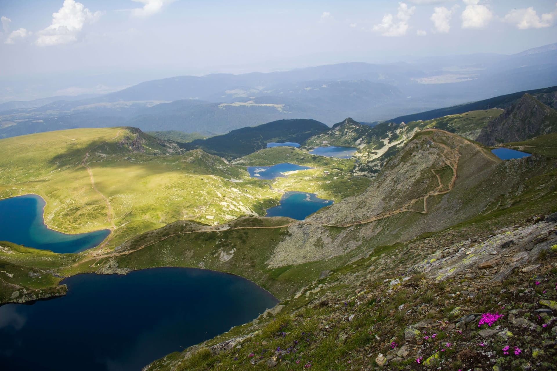
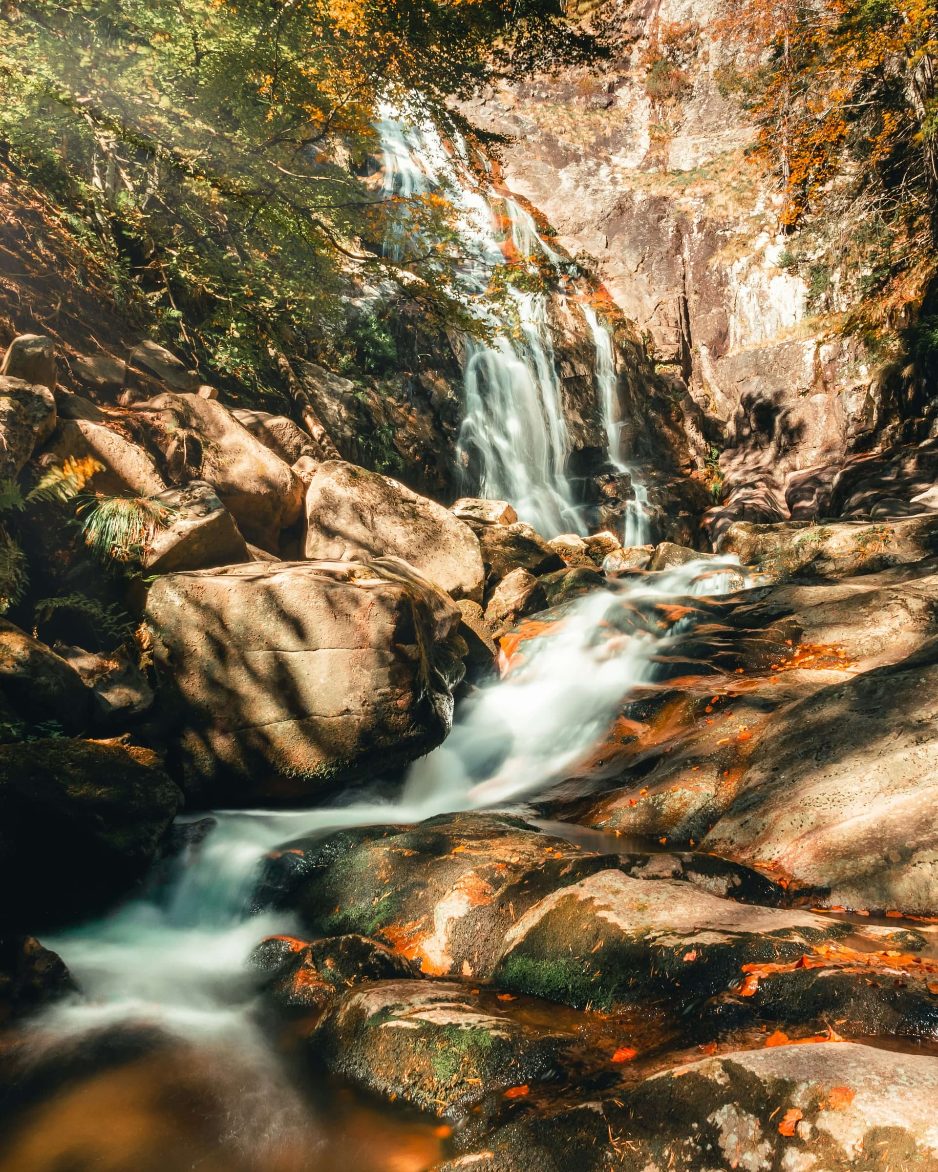
The route leaves Vratsa, climbs the Vratsa mountain to Okolchitsa peak and continues along the ridge to Parshevitsa hut. It is marked in blue, and the whole way is about 19 km. It is a full day's walk.
Okolchitsa peak (1,048 m) is where Botev's band fought its last battle on 20 May (1 June, new style) 1876. The 35 m memorial with a militia cross was built in 1936–1939. National commemorations are held here every year on 2 June, and on 1 June the hikers of the march in the band's footsteps arrive. It is very crowded then.
Parshevitsa hut stands in the Kalichina Bara area at about 1,250 m. It has about 43 beds, and an asphalt road reaches it, so you can be picked up by car at the hut. The Parshevitsa ski run is next to the hut.
The climb from Vratsa is steep, and the ridge is open and rocky in places. You need proper boots, water and an early start. You can split the route: to Okolchitsa on one day, and from Okolchitsa to the hut on another.

Vratsa region
1.7 km away

Vratsa region
1.9 km away

Vratsa region
2.1 km away
Vratsa – Okolchitsa – Parshevitsa Hut is located in Vratsa, Bulgaria.
Vratsa – Okolchitsa – Parshevitsa Hut is most easily reached by car. Use the coordinates above to navigate, or open the location in OpenStreetMap or your preferred maps app for turn-by-turn directions. Public transport options vary by region — for remote destinations a rental car gives the most flexibility.
Vratsa – Okolchitsa – Parshevitsa Hut is best walked from May through October, when the trail is clear of snow and weather is generally stable. Summer middays can be hot at lower altitudes — start early. Winter walking requires proper gear and route knowledge.
Suitability depends on the specific route. Bulgarian trails range from paved family-friendly paths to multi-day high-mountain crossings. Check the length, elevation gain, and surface before setting off. Sturdy footwear, water, and a basic map (offline or paper) are essential even on short walks.