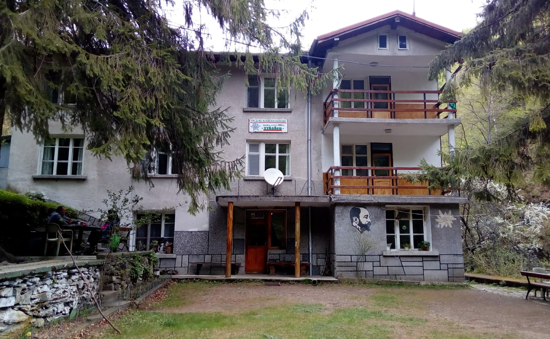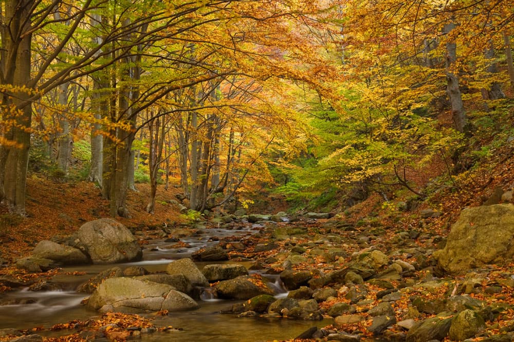
Stara Reka is a strict nature reserve in the Central Balkan National Park, in the central Balkan range right above Karlovo. It covers the catchment of the Stara Reka river. The marked path from Karlovo up the valley to Hubavets hut and beyond is covered in our guides below.
The reserve was declared on 19 March 1981 over 1,974.7 ha to protect a rare mix of conifer, broadleaf and mixed forests. It is one of the nine reserves in the Central Balkan. You may walk in it only on the marked paths.
The reserve is best known for its plant diversity. Warmth-loving manna ash, oriental hornbeam and hop hornbeam grow here, and higher up beech, fir and Norway spruce. It protects sites of more than 45 species in the Red Book of Bulgaria. 20 of them are found nowhere outside Bulgaria, and three only within the reserve.
65 vertebrate species live in the reserve year-round. The endangered ones include the golden eagle, the long-legged buzzard, the goshawk and sparrowhawk, and the eagle owl.
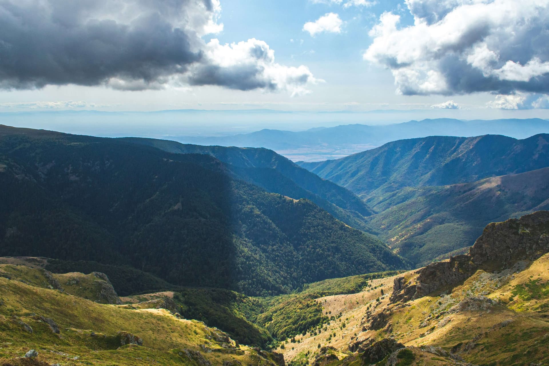
A guide to Central Balkan National Park: its nine strict reserves, the UNESCO-listed primeval beech forests of Boatin and Tsarichina, the Dzhendema cliffs, bears and wolves, and which town to enter from.
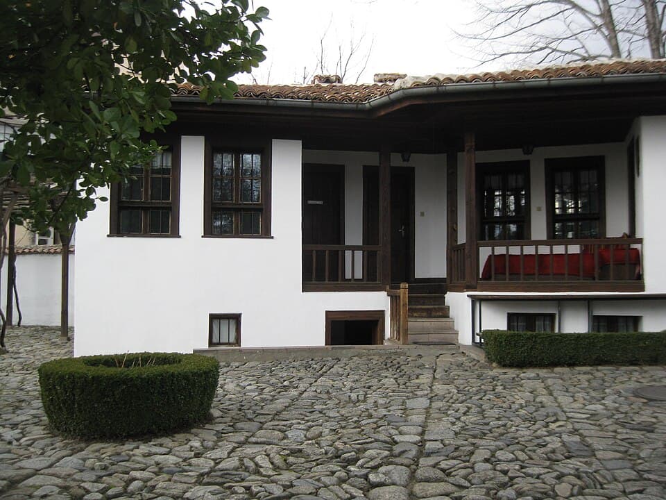
Planning a trip to Karlovo? Explore our ultimate travel guide featuring the Vasil Levski Museum, Suchurum Waterfall, parking tips, and family activities.
Stara Reka Reserve is located in Plovdiv, Bulgaria.
Stara Reka Reserve is most easily reached by car. Use the coordinates above to navigate, or open the location in OpenStreetMap or your preferred maps app for turn-by-turn directions. Public transport options vary by region — for remote destinations a rental car gives the most flexibility.
Stara Reka Reserve is best walked from May through October, when the trail is clear of snow and weather is generally stable. Summer middays can be hot at lower altitudes — start early. Winter walking requires proper gear and route knowledge.
Suitability depends on the specific route. Bulgarian trails range from paved family-friendly paths to multi-day high-mountain crossings. Check the length, elevation gain, and surface before setting off. Sturdy footwear, water, and a basic map (offline or paper) are essential even on short walks.