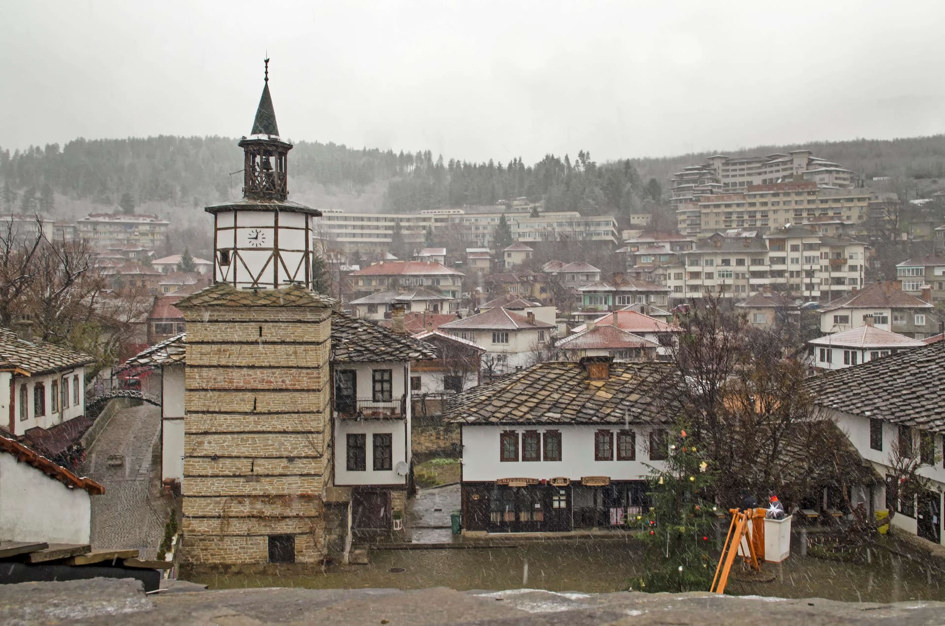
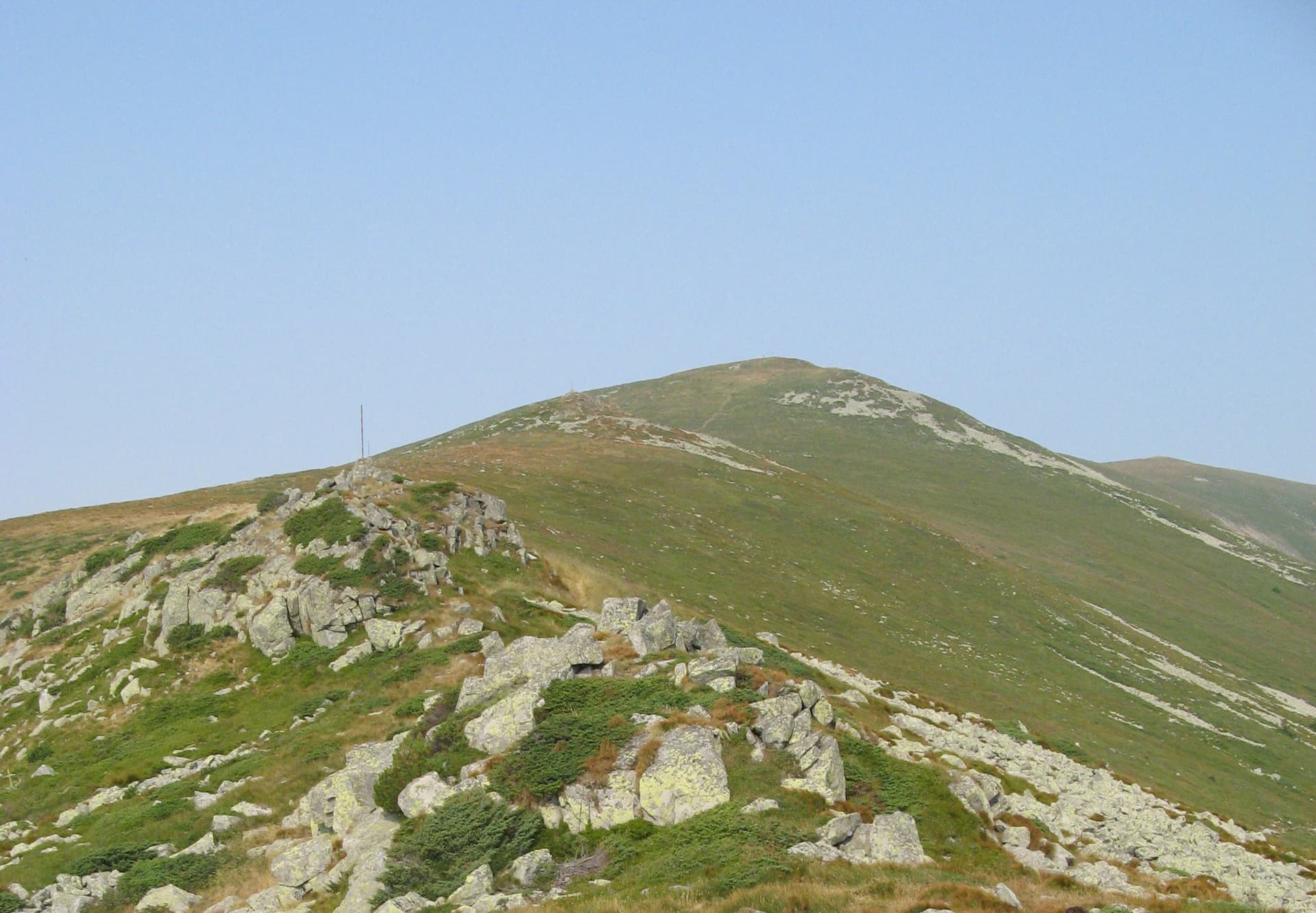
Benkovski Hut is situated at 1540 m above sea level at the foot of Ushite Peak (1767 m) in the western part of the Central Balkan Mountains. Located within the Central Balkan National Park, it serves as an excellent base for hikers aiming to summit Bratanitsa Peak (1992 m). Hut Amenities The hut is a solid two-story building with a capacity of 61 beds in shared dormitory rooms. - Electricity & Water: The hut has its own small hydropower plant (suitable for lighting and charging devices) and a running water supply. - Heating: Each room is equipped with a wood-burning stove. - Dining: A cozy dining hall and a kitchen offer traditional meals and warm beverages. - Facilities: One indoor toilet and a wood-heated bathroom are available. How to Reach Benkovski Hut Please note that the hut is accessible only on foot. There are four main hiking routes: - From Ribaritsa Village (via Zavodna River): The most popular route (5:00 h). It follows a long dirt road. You can shorten the walk by 1:30 h by driving to the park boundary. - From Ribaritsa Village (via Kostina Area): A more scenic and varied route (4:00 h). The path is partly through the forest and can be steep. Car access can shorten the hike by 45 min. - From Anton Village: A steep ascent to the mountain ridge (Popovi Grobove saddle) followed by a descent (Total: 5:30 h). - From Koprivshtitsa Railway Station: The longest approach (6:30 h), passing through the "Balkan Horse" ridge and skirting Bratanitsa Peak.

Lovech
3.9 km away
Plovdiv
5.0 km away
Sofia Province
5.2 km away
Plovdiv
5.9 km away
hut Benkovski - Bratanitsa peak is located in Lovech, Bulgaria.
hut Benkovski - Bratanitsa peak is most easily reached by car. Use the coordinates above to navigate, or open the location in OpenStreetMap or your preferred maps app for turn-by-turn directions. Public transport options vary by region — for remote destinations a rental car gives the most flexibility.
hut Benkovski - Bratanitsa peak is best walked from May through October, when the trail is clear of snow and weather is generally stable. Summer middays can be hot at lower altitudes — start early. Winter walking requires proper gear and route knowledge.
Suitability depends on the specific route. Bulgarian trails range from paved family-friendly paths to multi-day high-mountain crossings. Check the length, elevation gain, and surface before setting off. Sturdy footwear, water, and a basic map (offline or paper) are essential even on short walks.