The route leads from Asenovgrad to Martsiganitsa hut (1,412 m) above Dobrostan in the Rhodopes. It is marked in blue, the path is about 18 km, and the climb of about 1,200 m takes 8–9 hours, the time the organisers of the annual "Asenovgrad peaks and paths" hike allow.
The start is the Parakolovo area on the edge of Asenovgrad. Sources do not mention transport to it.
In Asenovgrad; sources do not name a car park at the start of the path.
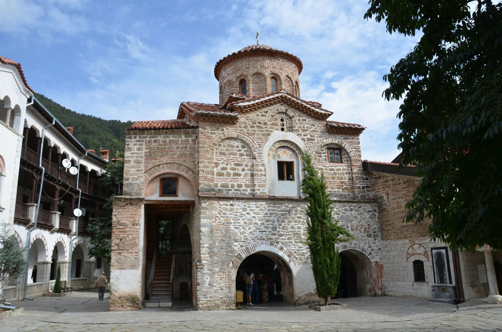
From Parakolovo the path climbs to the St Petka Muldavska monastery, with a holy spring and a hideout of Vasil Levski. It goes on to the Goliya Gidik area on the Propast ridge, with wide views and, in late spring, orchids and wild Rhodope tulips. It then passes the Asenovgrad and Cherven hunting lodges to the Dobrostan meadows and the hut.
A long day with about 1,200 m of ascent and no technical sections. For fit hikers, not small children. Start early and carry enough water.
Spring to autumn. The orchids and tulips flower in late spring.
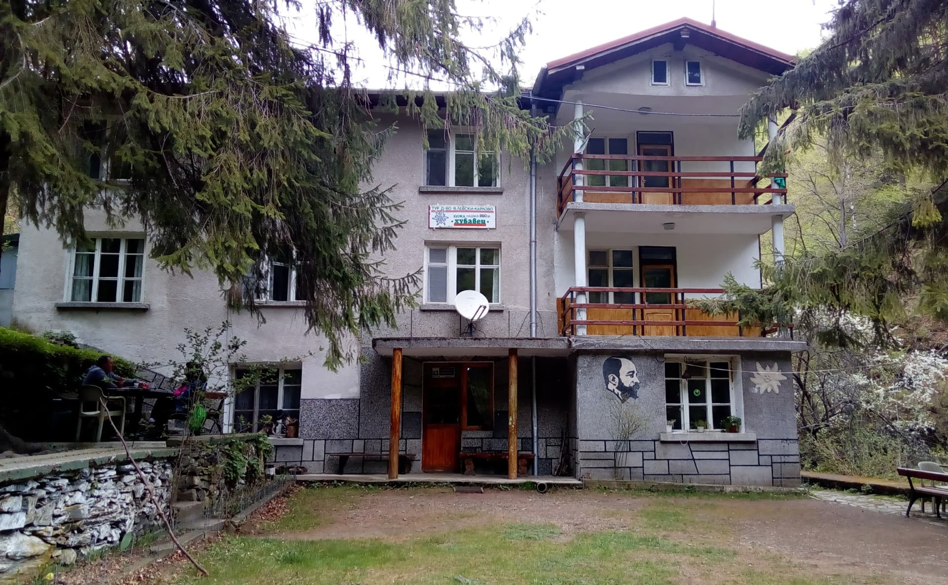
Martsiganitsa is open, with about 100 beds and a restaurant. A 4 km asphalt road links it with Dobrostan.
Walking back the same way is another long day, so it is easier to have a car waiting at the hut. From the hut: Dobrostanski Biser cave, 20 minutes; marked paths to Bezovo hut and down to Bachkovo Monastery.
Asenovgrad – Martsiganitsa Hut is located in Plovdiv, Bulgaria.
Asenovgrad – Martsiganitsa Hut is most easily reached by car. Use the coordinates above to navigate, or open the location in OpenStreetMap or your preferred maps app for turn-by-turn directions. Public transport options vary by region — for remote destinations a rental car gives the most flexibility.
Asenovgrad – Martsiganitsa Hut is best walked from May through October, when the trail is clear of snow and weather is generally stable. Summer middays can be hot at lower altitudes — start early. Winter walking requires proper gear and route knowledge.
Suitability depends on the specific route. Bulgarian trails range from paved family-friendly paths to multi-day high-mountain crossings. Check the length, elevation gain, and surface before setting off. Sturdy footwear, water, and a basic map (offline or paper) are essential even on short walks.