The route leads from the Vidima quarter of Apriltsi to Pleven hut in the Central Balkan. It is marked in green, the path is about 2.8 km, and the climb from about 950 m to the hut takes about an hour and a half.
From the Vidima quarter, about 5 km of asphalt road lead south, past Vidima hut, to the end of the tarmac where the path starts. Sources do not mention public transport to the start.
At the end of the asphalt. There are paid car parks there.
After the river the path heads towards Botev Peak. After about 300 m the direct path to the hut branches right: steep, zigzagging through old forest, with wooden railings for almost its whole length. The waymarks also continue straight on, on a longer and gentler track.
A short but steep climb with no dangerous sections. Roots are slippery when wet. Water is at the start and at the hut. Fine for children used to walking.
Spring to autumn. In winter the path is under snow, and the slopes around the hut are used for ski touring.
Pleven hut was built in 1967–1971 in the Bazov Dyal area, at about 1,400 m (some directories give 1,504 m). It has two buildings with 180 beds and a restaurant. It looks out over the Severen Dzhendem reserve.
The same way. From the hut: the Botev shelter, 2:20 h; Botev Peak, about 3 h; Rai hut and Vasil Levski hut, about 5 h each.

Lovech region
3.0 km away

Lovech region
3.3 km away
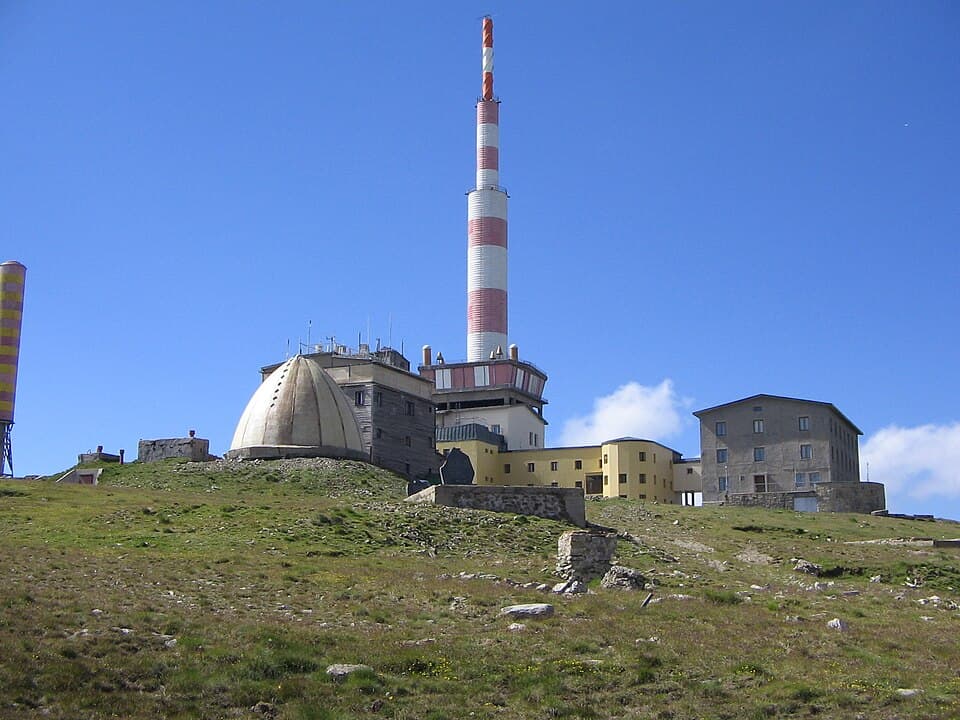
Plovdiv region
3.7 km away
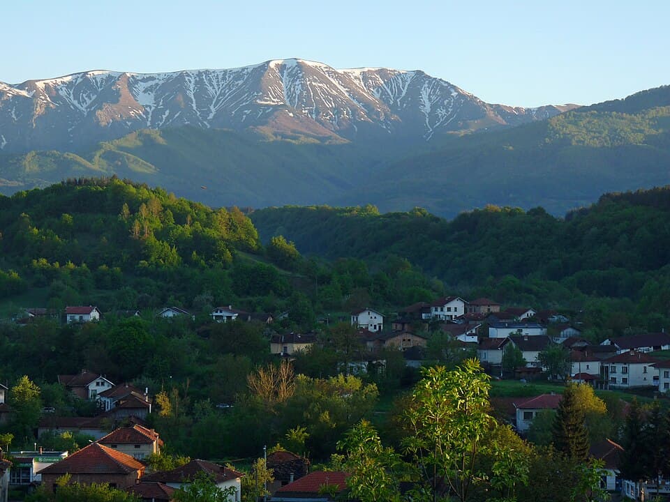
A weekend in Troyan, Oreshak and Apriltsi: Troyan pottery and plum rakia, the crafts museum, the Oreshak exhibition by Troyan Monastery, and Apriltsi as a Balkan base.
How to hike Botev Peak (2,376 m), the highest summit of the Balkan Mountains, from Kalofer — past Raysko Praskalo, the highest waterfall in the Balkans.
Apriltsi – Pleven Hut is located in Lovech, Bulgaria.
Apriltsi – Pleven Hut is most easily reached by car. Use the coordinates above to navigate, or open the location in OpenStreetMap or your preferred maps app for turn-by-turn directions. Public transport options vary by region — for remote destinations a rental car gives the most flexibility.
Apriltsi – Pleven Hut is best walked from May through October, when the trail is clear of snow and weather is generally stable. Summer middays can be hot at lower altitudes — start early. Winter walking requires proper gear and route knowledge.
Suitability depends on the specific route. Bulgarian trails range from paved family-friendly paths to multi-day high-mountain crossings. Check the length, elevation gain, and surface before setting off. Sturdy footwear, water, and a basic map (offline or paper) are essential even on short walks.